


POA
POA
POA
POA

POA
POA
£28,500.00
POA

£16,500.00
POA
£11,690.00
POA
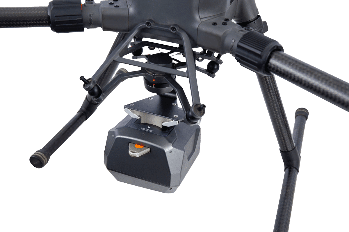

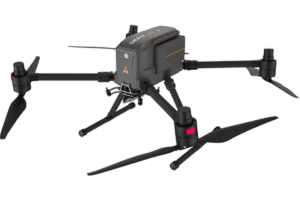
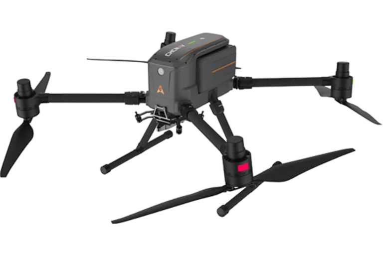
CHCNAV | X500 Reliability Test Under Extreme Conditions