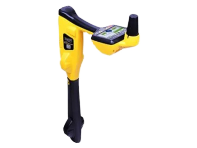
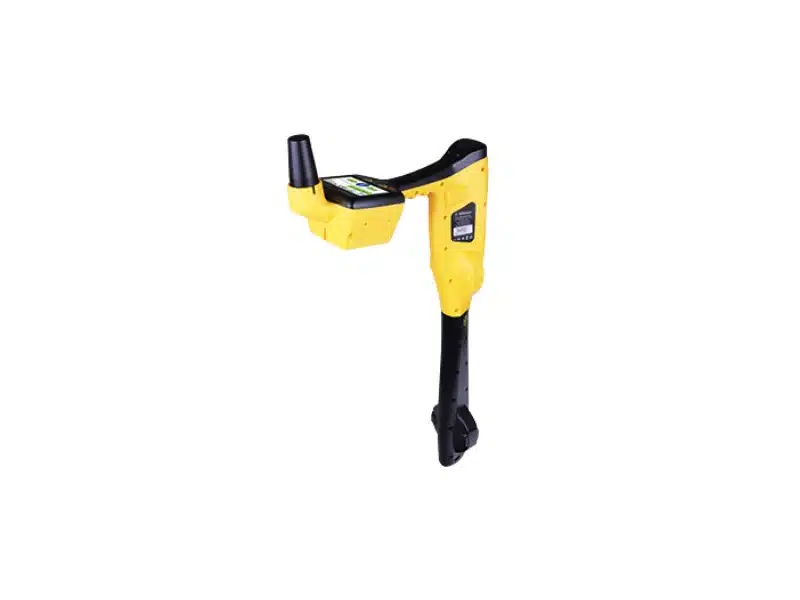
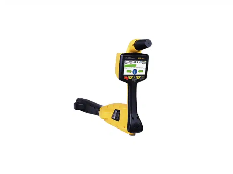
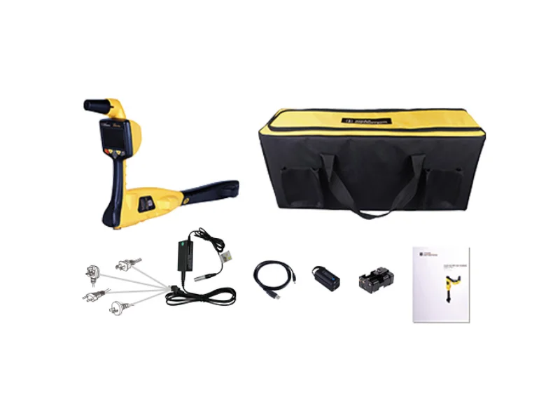
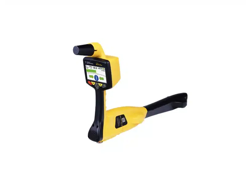
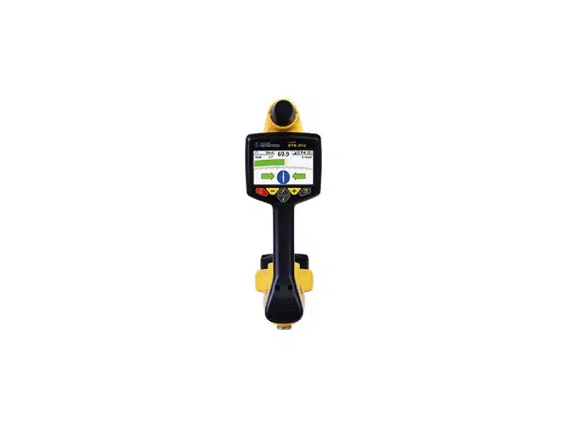
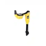
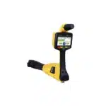
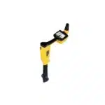
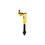
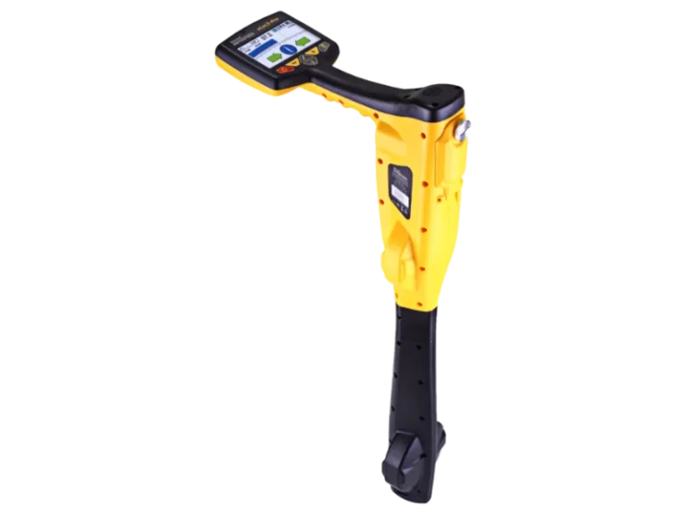
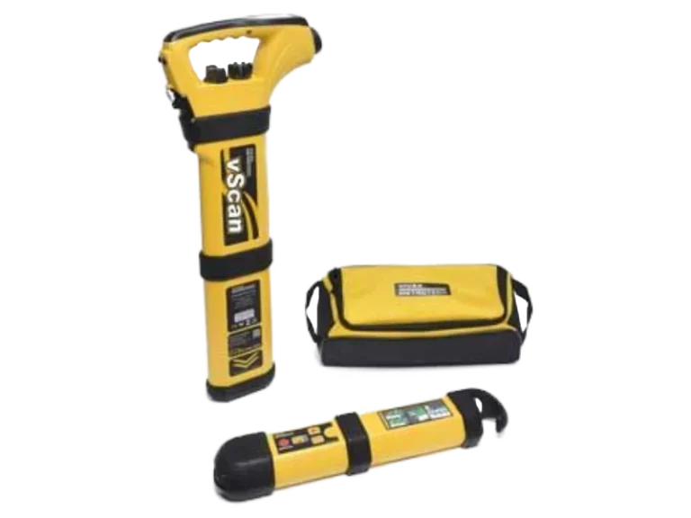
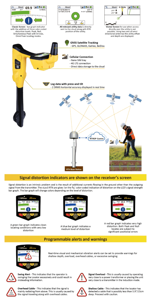
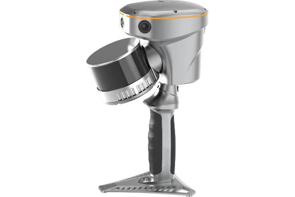
The vLoc3 RTK-Pro receiver is the first to add RTK GNSS accuracy to a utility locator. Using the RTK-Pro internal cellular module with 4G LTE capabilities, the operator has the ability to connect to NTRIP RTK (Real-Time Kinematic ) caster that provides RTCM 3 corrections. By utilizing these corrections, the operator can collect both utility location data along with the geographical location of the utility with survey-grade accuracy.
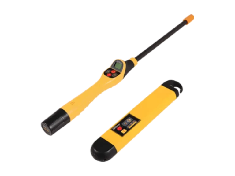
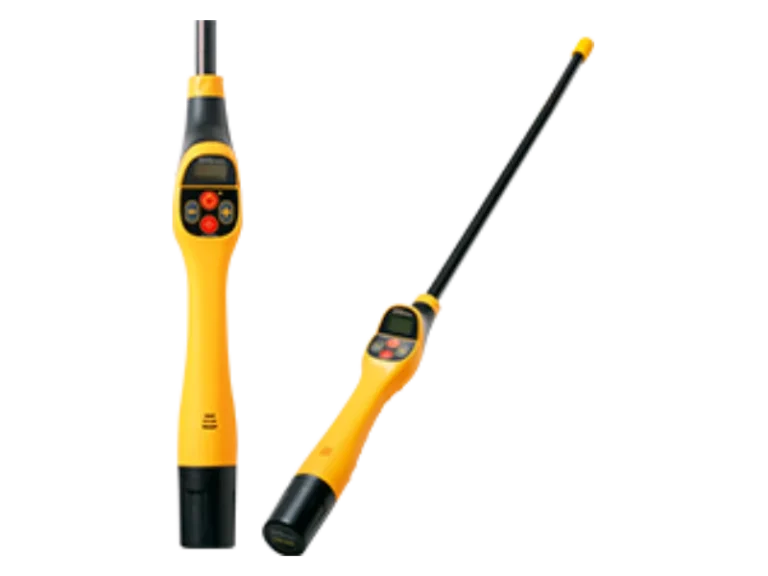
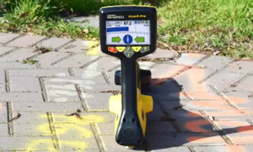
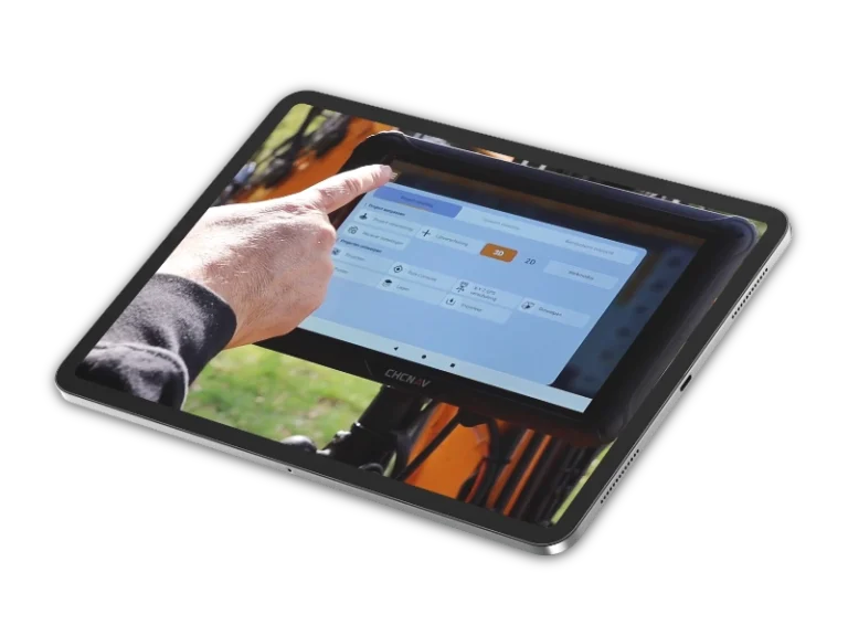
The RTK-Pro was designed for use at all operator levels, utilizing user-friendly and intuitive locate screens. Operators simply confirm the utility data with the press of a button and align the electronic spirit level to store the data. All field data is sent to the cloud and retained in the receivers onboard storage for review and exporting to external mapping programs.
The highly user-configurable vLoc3 series contains eight passive locate modes, fault find mode, SD (showing the direction of outgoing current), and a range of configurable frequenciesn from 98Hz to 200 kHz. Visual and mechanical vibration alerts can also be configured by the user providing warnings for shallow depth, overload, overhead cables, and excessive swinging. Optional features include Tx-Link that enables the user to change the frequencies of the transmitter, power output and operate most of the features of the transmitter remotely.
Key Features
Fully-integrated RTK GNSS
One-hand locating and mapping
Cloud-based data management
Survey-grade GNSS Accuracy
Simplistic locating modes
Reduces multiple field equipment
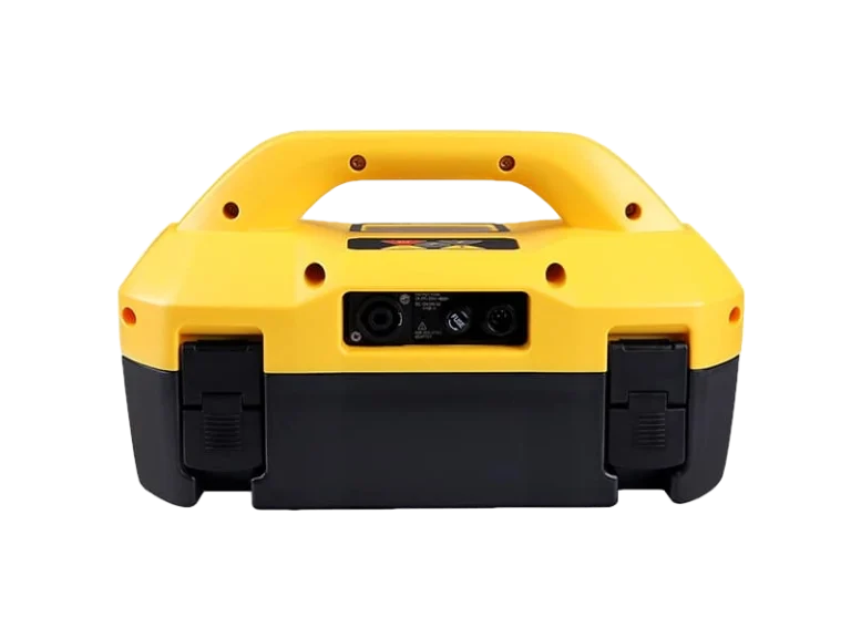
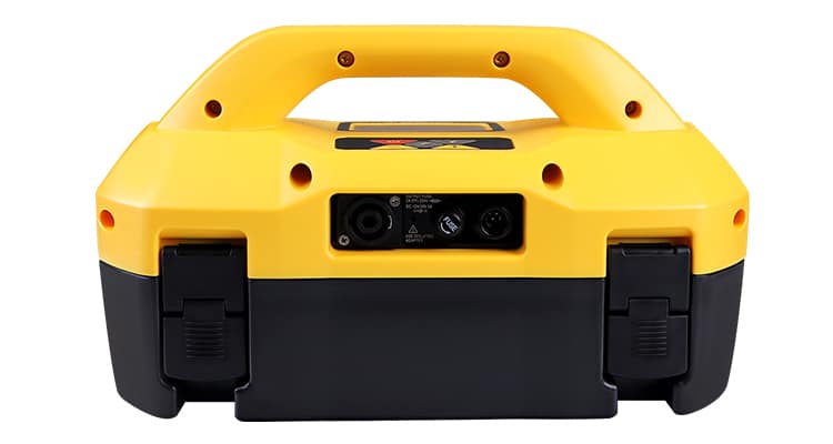
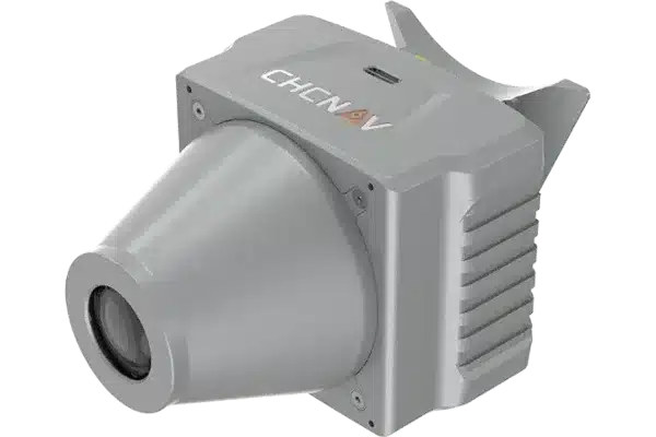
Introducing 10Tx Transmitter
The 10-Watt broadband transmitter has selectable induction and direct connection frequencies from 98Hz to 200kHz, SD mode (Signal Direction), fault find and true resistance measurement up to 1 Mohm. The two inch by one-inch dot matrix display with LED backlight shows output current, connection type, volts, resistance, frequency, volume, battery condition and high voltage warnings.
Signal Direction (SD) mode feature verifies if the line being located is the target that the transmitter is connected to.
When a transmitter is connected to a target line, the signal travels along it and finds the easiest way to travel back, usually via the ground and ground stake. However, very often the signal will travel back along adjacent utilities which offer an easier route. As a result, there can be multiple signals radiating from utilities in the area making it difficult to identify the target line. These return signals are typically traveling in the opposite direction than the applied signal. The Signal Direction feature identifies which direction the signal is flowing and hence the target line.
Packaged in a lightweight, rugged, ergonomic IP54 housing, the transmitter provides consistent current output in direct connect, clamp or induction modes and protection against inadvertent connection to incoming voltages up to 240V.
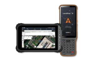
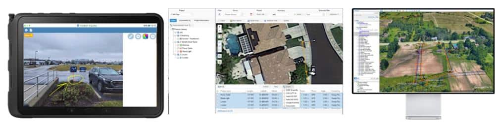
Paired with the advanced vLoc3 RTK-Pro receiver, Geolantis360 transforms traditional utility sketching workflows by streamlining high-precision data collection. With just a standard mobile device, you can quickly capture, record, and visualise the exact locations of critical utility and infrastructure data. It delivers unparalleled speed in mapping buried cables, pipes, ducts and drainage routes, including detailed metadata such as type, depth, and cover.
Geolantis360 simplifies subsurface utility mapping without requiring specialised equipment like total stations. It integrates effortlessly into existing processes and workflows, enabling your team to adopt it with minimal downtime. By leveraging vLoc3 RTK GNSS technology, Geolantis360 delivers centimetre-level accuracy in data collection, providing precise and reliable documentation.
Ultimately, Geolantis360 allows users to visualise and communicate where utilities are in the real world compared to a “paper world” and allows stakeholder groups to easily record and share metadata such as pipe size, material, temperature range, vendor, etc.
Documents
Delivery
Costs for delivery are depending on the weight and dimensions of the package.
All packages are securely and safely packaged, typically using recycled packaging from our suppliers.
If the item is in stock it will be delivered within 2-3 working days
If an item is out of stock it will be delivered within 5-10 working days – any longer and we will contact you to advise and confirm a revised delivery date.
Returns
We hope you will be pleased with your purchase. Should you wish to return anything to us we will be happy to refund or exchange any goods returned to us unused, undamaged and fully resale able within 10 working days of receipt by the customer.
The cost of returning any goods other than faulty goods is paid by the customer.
The customer is liable for any goods returned to us that arrive damaged due to poor packing on the customers part.
If goods are returned to us after 14 working days or not in a fully resale able condition, we reserve the right to refuse a refund or to deduct a 25% re-stocking charge.