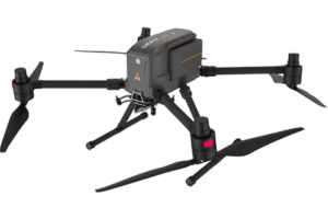
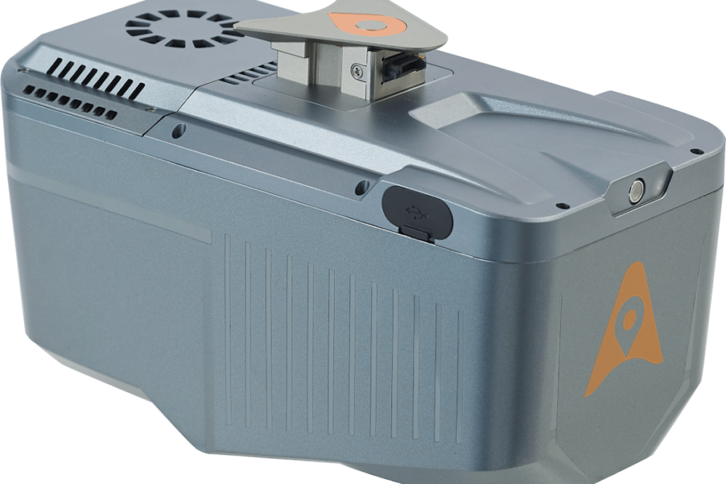
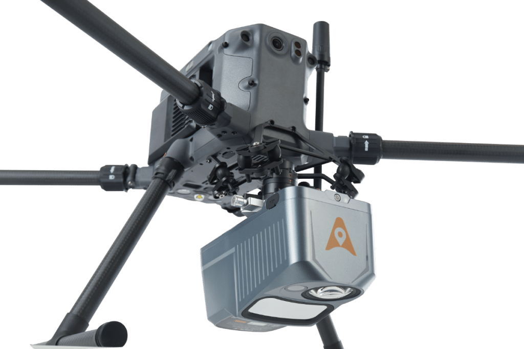
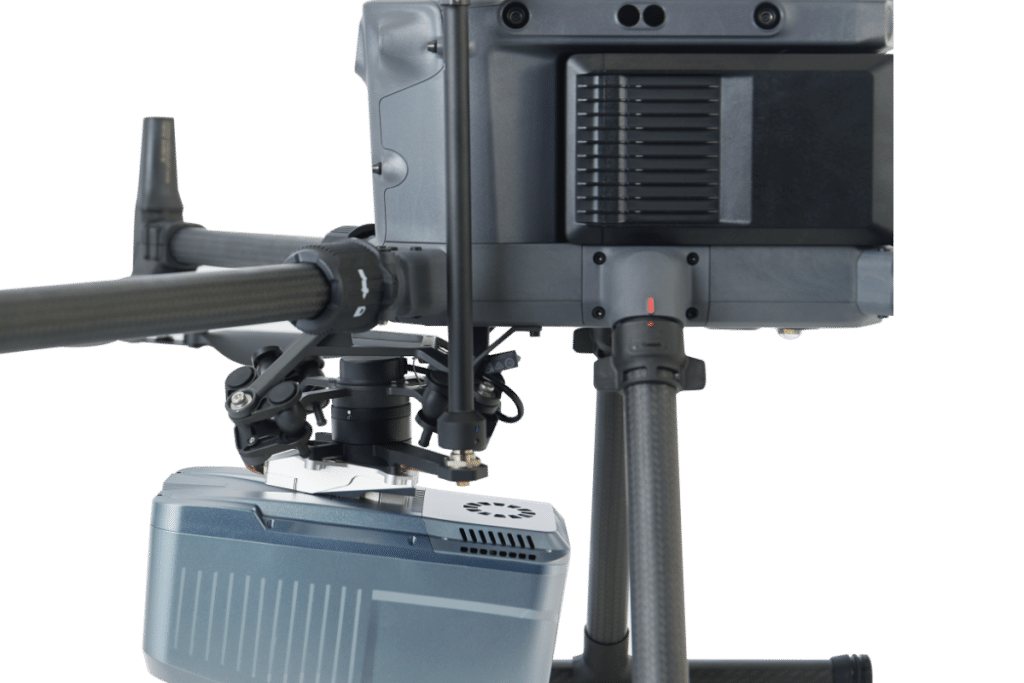
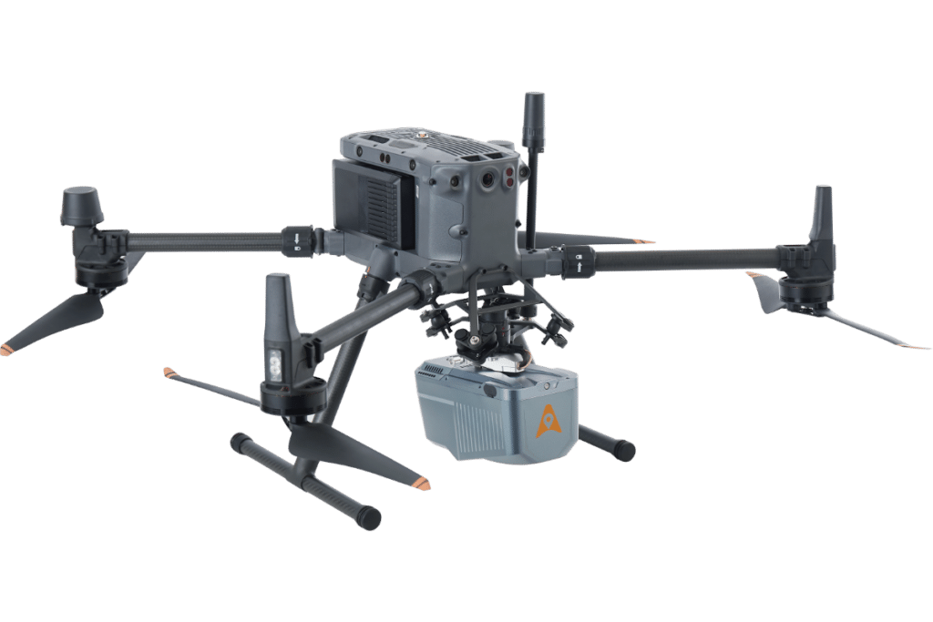
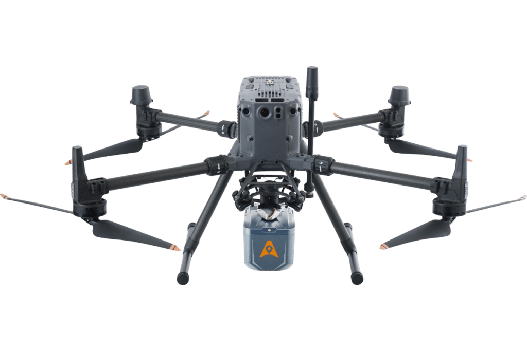
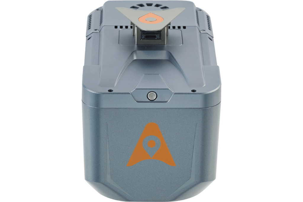
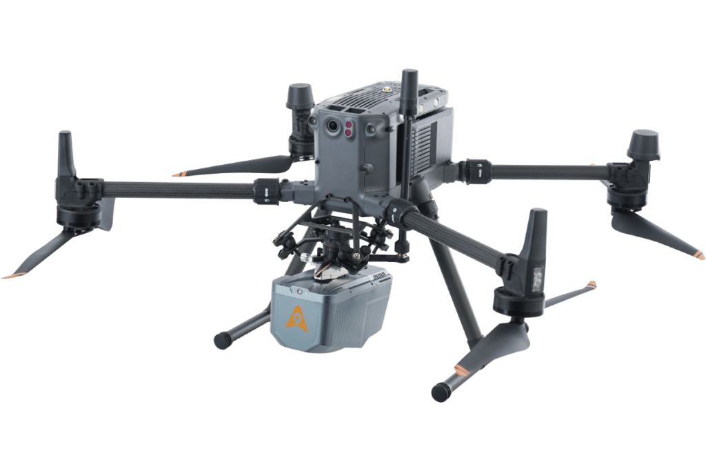
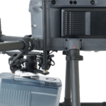
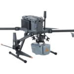
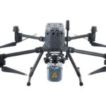
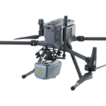
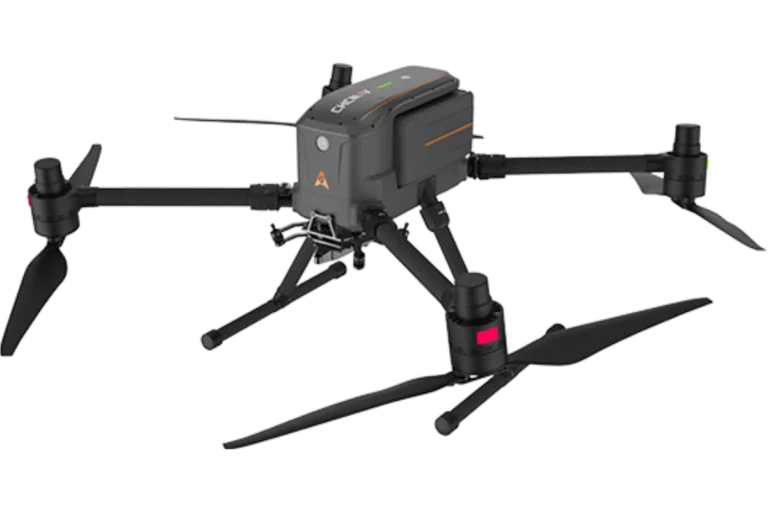
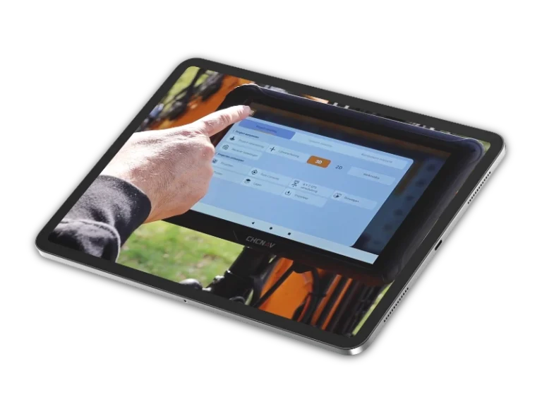
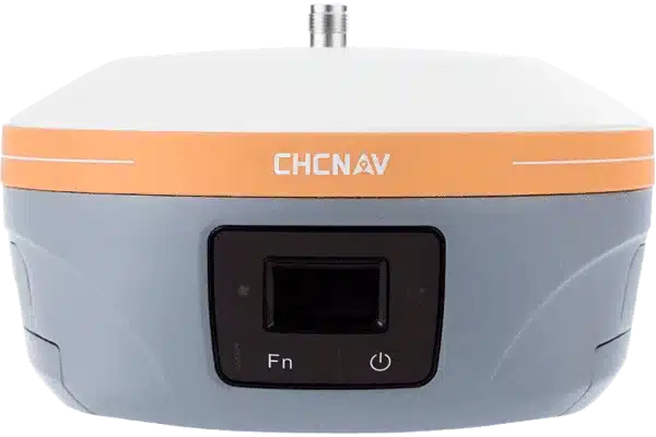
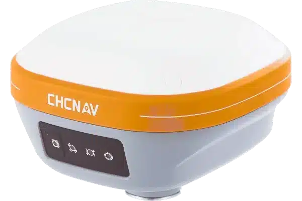
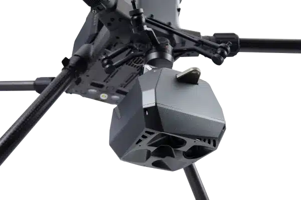
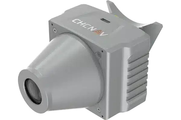
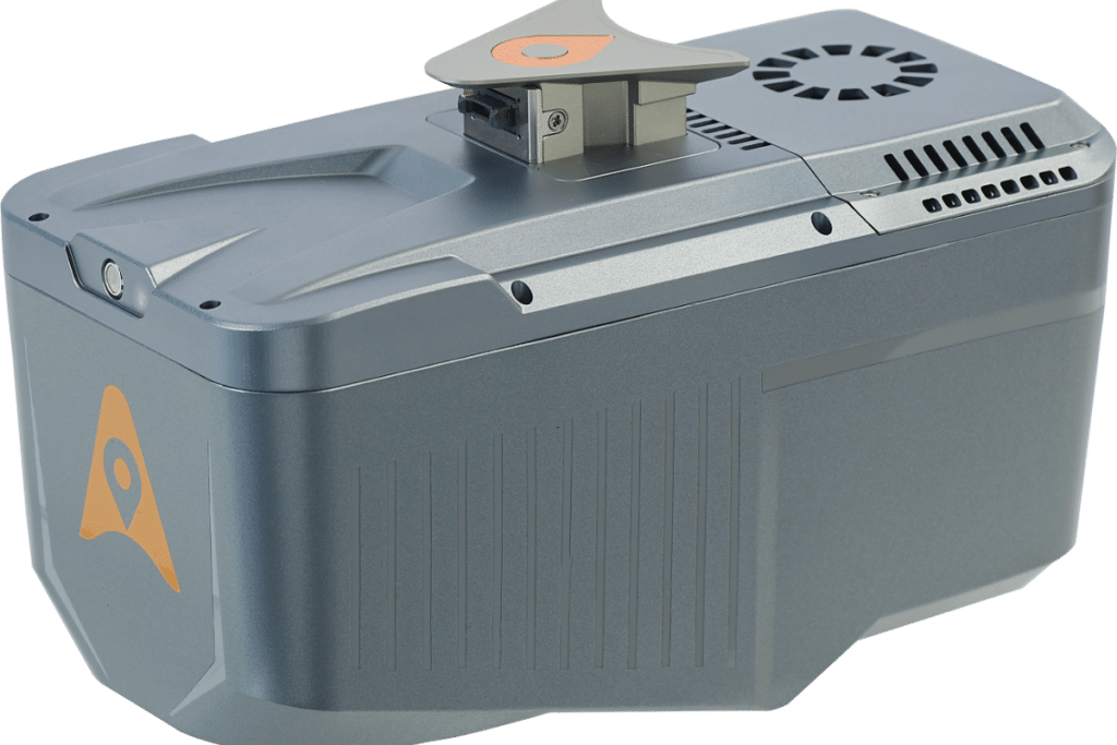
The CHCNAV AlphaAir 10 (or AA10) is an advanced aerial surveying solution that seamlessly integrates LiDAR and RGB sensors to meet the needs of professional UAV LiDAR mapping and drone photogrammetry.
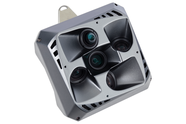
The AlphaAir 10’s (or AA10) high-precision navigation algorithm, in conjunction with the CHCNAV scanner, provides 5 mm repeated range accuracy and achieves exceptional absolute precision in the 2 to 5 cm range, even in complex environments. With the capability of long-range measurements up to 800 m, rapid scanning at 500,000 points per second, and a continuously rotating mirror that enables scanning speeds of 250 scans per second, the AA10 enhances the detail of aerial mapping operations.