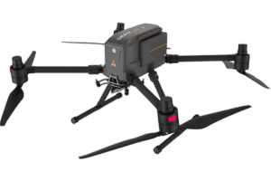
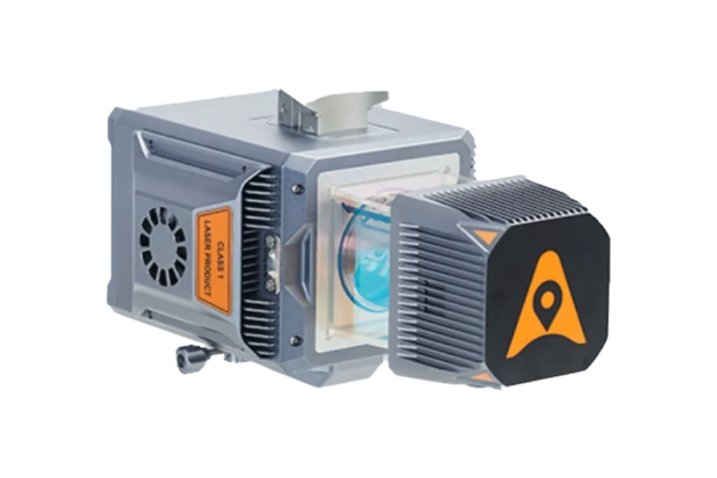
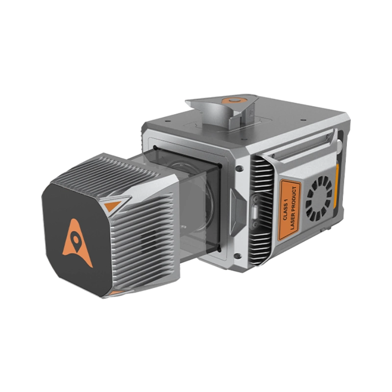
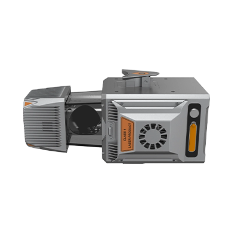
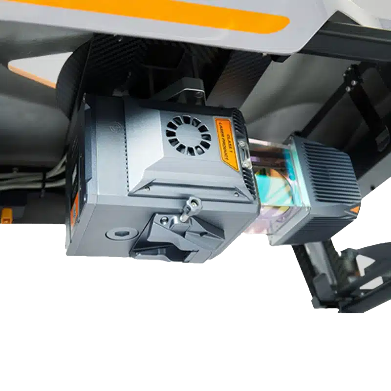
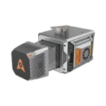
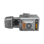
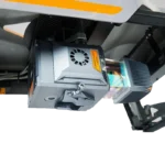
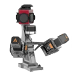
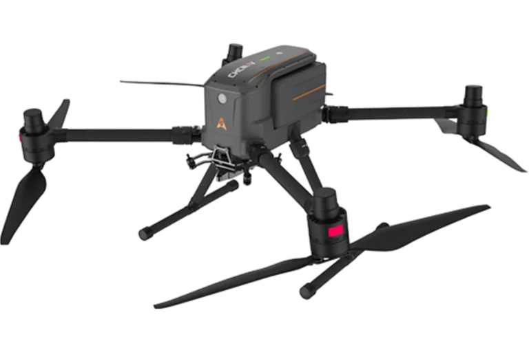
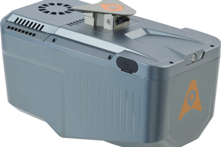
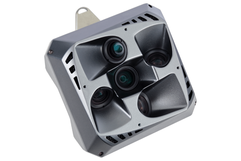
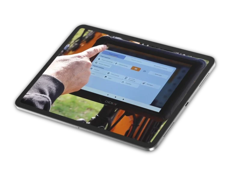
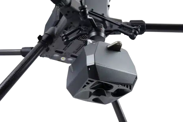
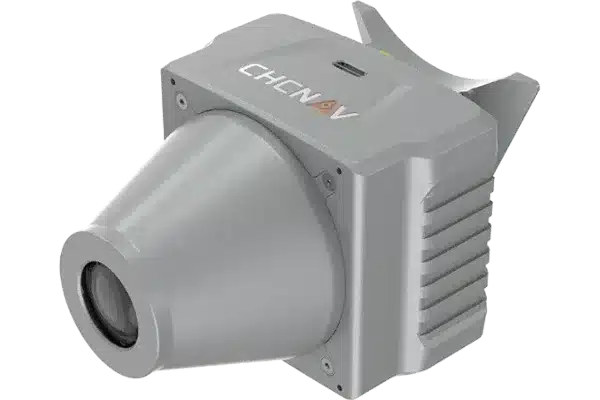
The CHCNAV AlphaUni 20 (AU20) is a compact, high-precision LiDAR system built for professional surveying and mapping. Weighing just 2.82 kg, this single-head system delivers long-range performance up to 1,450 metres with accuracy better than five centimetres. Its integrated GNSS and IMU ensure stable positioning and orientation, even in challenging environments such as dense urban areas or woodland. Designed for flexibility, the AU20 can be quickly mounted on UAVs, vehicles or backpacks using CHCNAV’s Alphaport one-click connection. With up to 16 echo returns and powerful SmartGo and CoPre software, it produces dense, high-quality point clouds for transport, infrastructure, forestry and urban mapping projects across the UK.