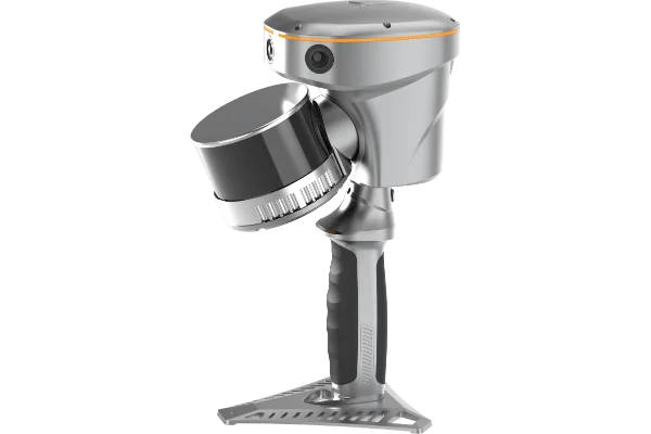
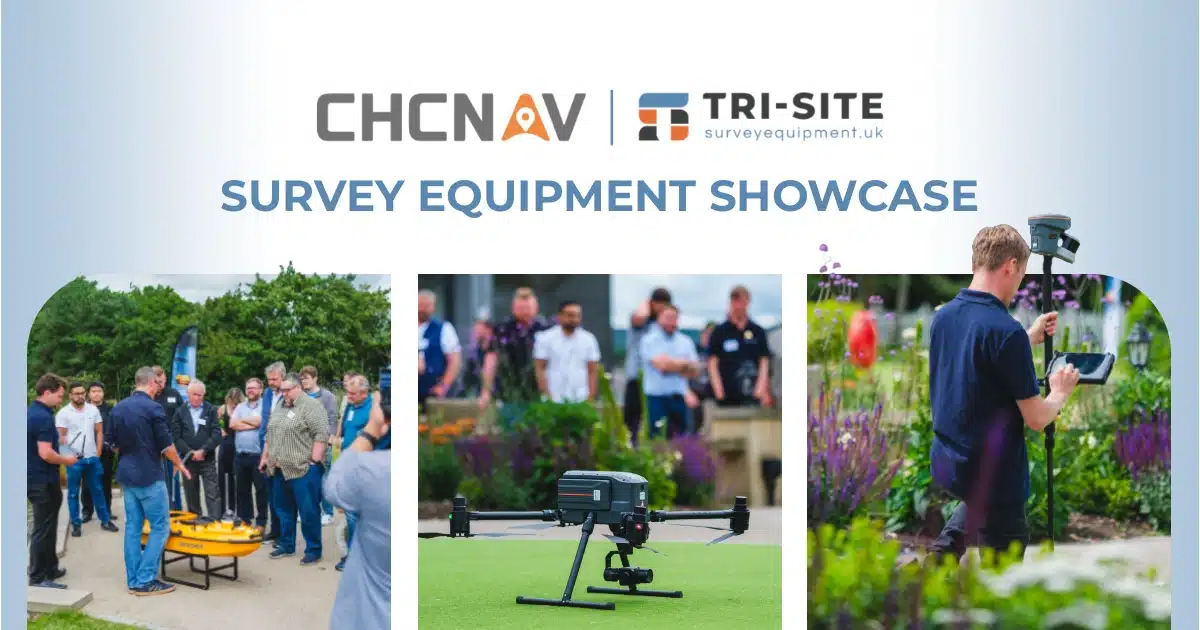
When it comes to surveying, we believe in doing things properly, accurately, efficiently, and with as little fuss as possible. That’s why we’re we only offer advanced equipment to keep surveyors ahead of the game and consistently upgrading their performance.
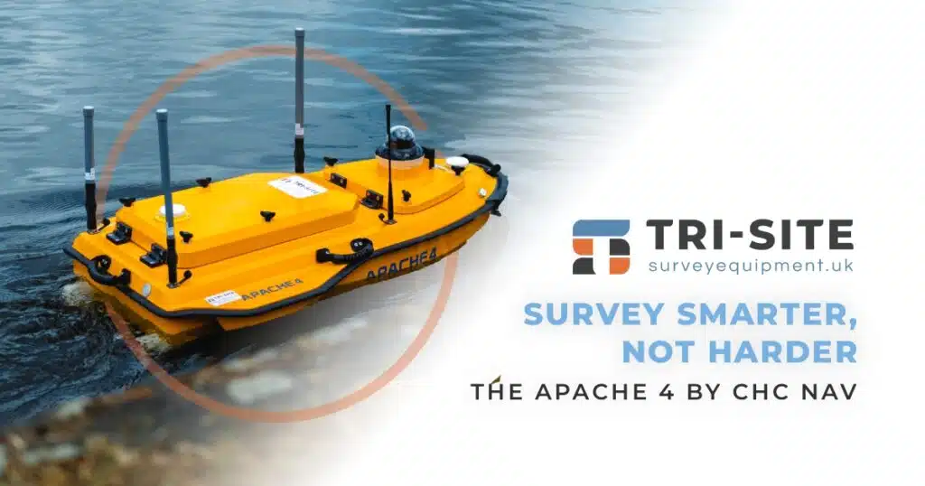
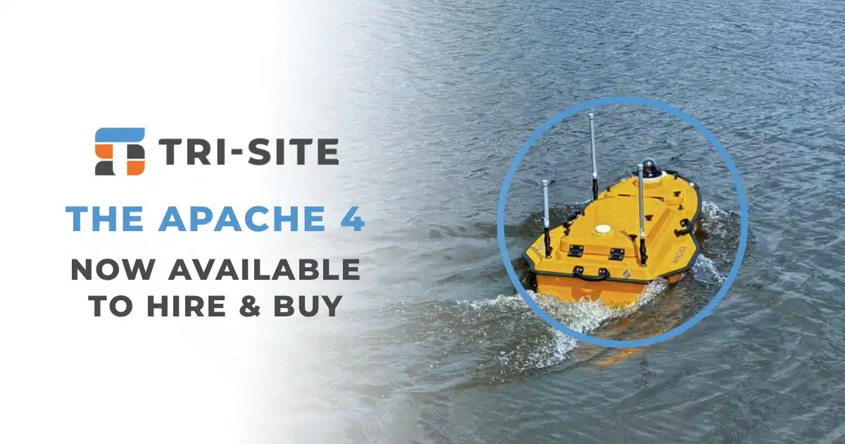
What is the Apache 4?
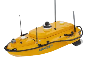
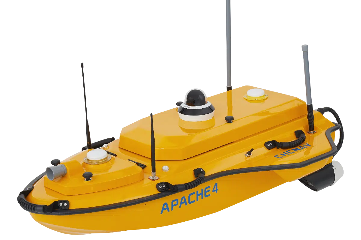
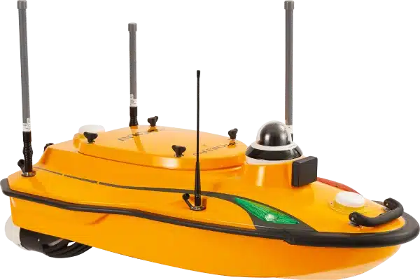
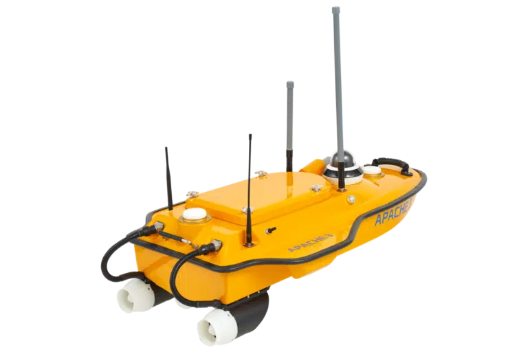
We’re delighted to introduce the Apache 4 from CHC Navigation: a powerful, portable hydrographic surveying vessel, available to buy or hire from us.
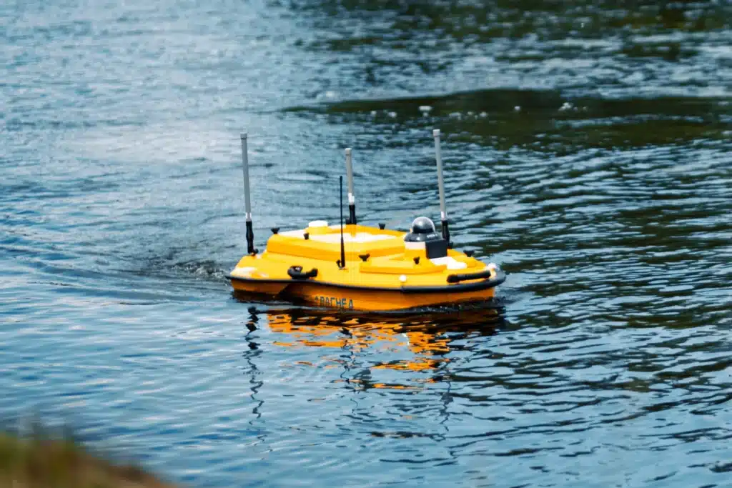
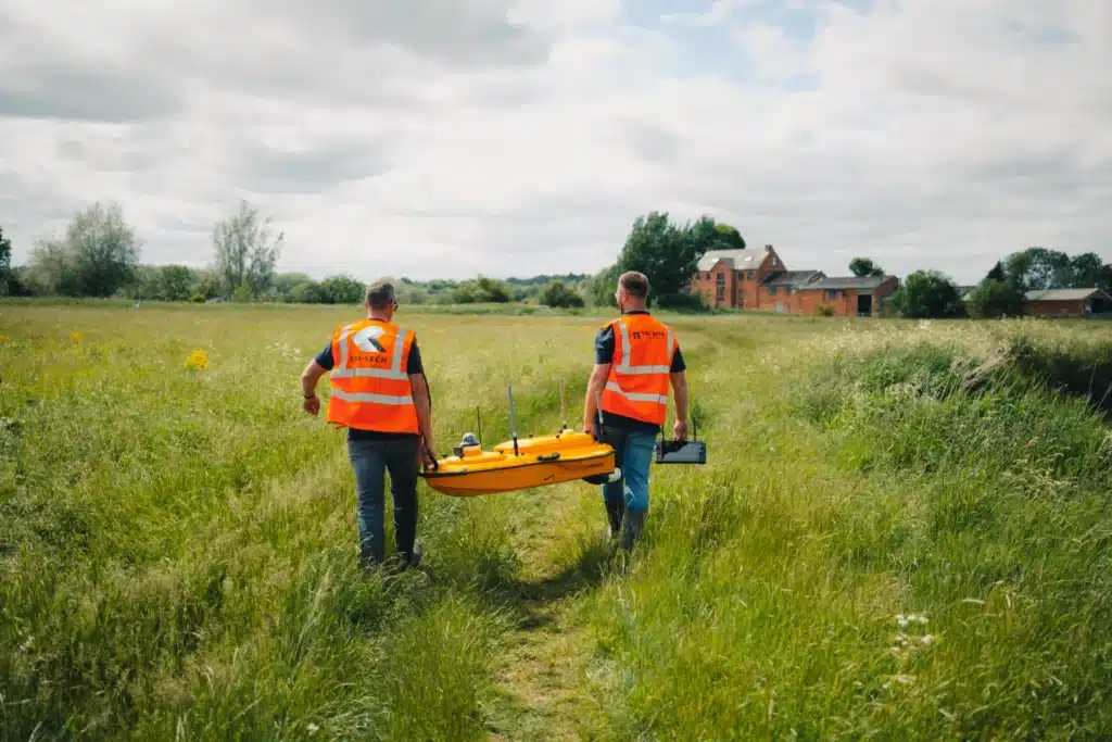
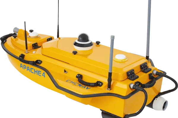
In short, it’s an unmanned surface vessel (USV) designed to carry out detailed hydrographic surveys in places that are tricky or dangerous for humans to go. Think rivers, reservoirs, ports, and lakes. Easy to transport, it’s packed with smart tech like dual GNSS and IMU integration, single or multibeam echo sounders, and autonomous navigation.
For surveyors, that means one thing: more data, less drama.
Thanks to a GNSS + IMU positioning system, the Apache 4 stays on course even in turbulent flow or when GPS signals are limited. This means highly accurate cross-sectional data, especially important for flood modelling and riverbed profiling.
With depth range capabilities from 0.15 to 200 meters and ±0.01 m accuracy, this unit provides detailed water depth profiles and can verify or complement ADCP tracking data.
Don’t let its size fool you: this vessel can carry up to 35 kg of payload, including ADCP sensors, multi-beam echo sounders, side scan sonar, and water quality monitors.
With up to 8 hours of endurance on a single charge and hot swappable batteries, teams can complete large surveys in one go -no mid-mission swaps or delays.
Using CHC’s dedicated Easysail app and Android control system, operators can plan missions, view live video of the area with built-in 360 camera, data feeds, and make real-time adjustments -all from shore.
With millimeter-wave obstacle detection, auto-return on low battery or lost signal, and a triple-hull carbon fiber design (IP67 rated), safety and reliability are built into every survey.
Used By Surveyors
We’ve been extensively putting the Apache 4 to work on projects such as…
Flood modelling projects, where it helped us safely capture accurate waterbed data without sending people into unstable terrain.
Dredging surveys, providing before-and-after comparisons for clients needing to keep waterways navigable.
Reservoir inspections, where it allow us to cover large, isolated areas in record time.
Environmental monitoring, collecting data in sensitive ecosystems where minimising human disruption is essential.
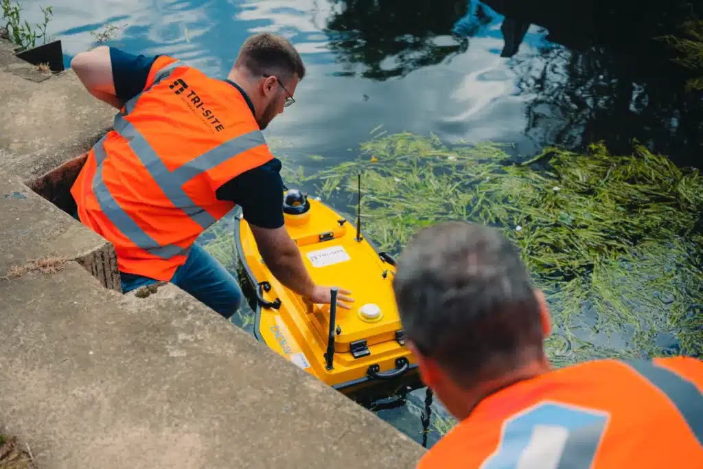
Instead of sending out a full team with a boat, surveyors can now deploy the Apache 4 with minimal site operatives, cutting down time, risk and costs. It navigates survey routes autonomously, streams data in real-time, and slots straight into our existing data workflows. It’s fast, it’s efficient, and most importantly, it’s reliable.
Using Tri-SIte Survey Equipment
We know that when you partner with us, you’re putting trust in our hands. That’s why we don’t just chase the latest gadgets, we invest in equipment that genuinely improves the way we deliver results. The Apache 4 lets us capture high-quality hydrographic data quickly, safely, and with minimal disruption to the surrounding environment.
It’s just one more way we’re keeping your projects on track, on time, and built on solid, accurate foundations.