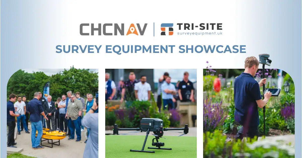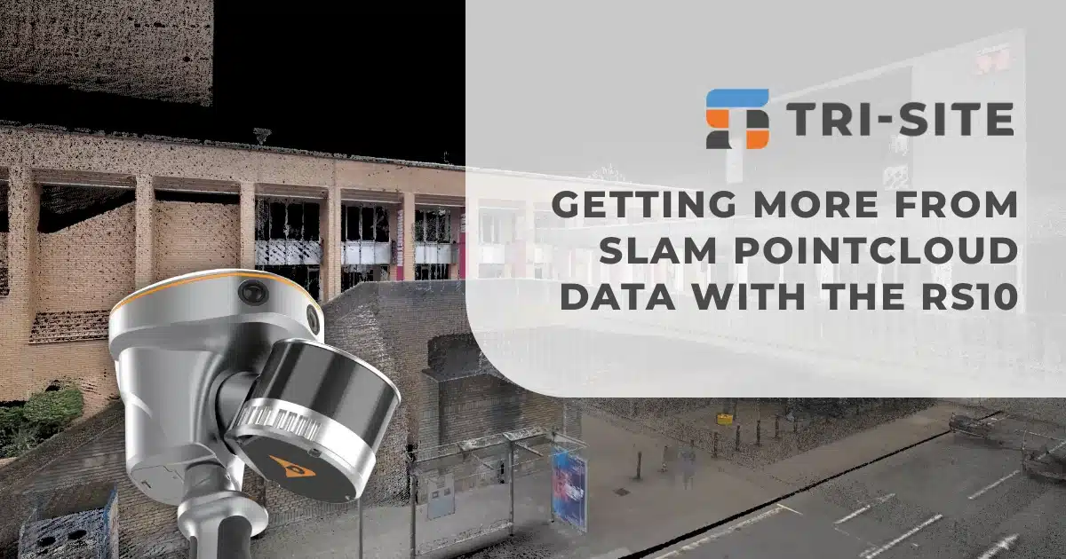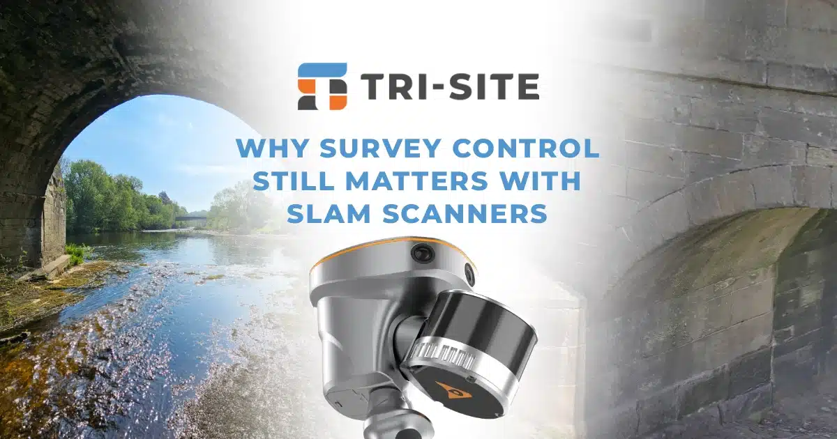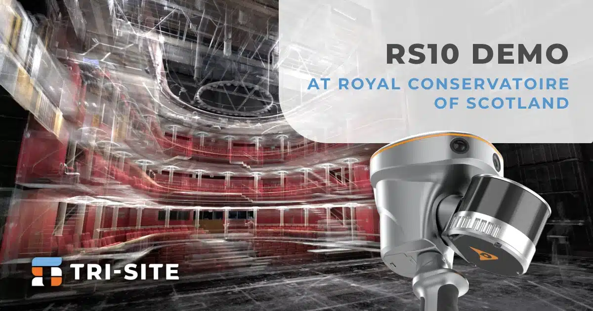


We recently had the fantastic opportunity to demonstrate the CHCNAV RS10 laser scanner at the prestigious Royal Conservatoire of Scotland, covering a complex tri-site layout with ease. The full site scan took just 25 minutes, an impressive result that highlighted the RS10’s speed and efficiency in a real-world setting.
The RS10 Demo
More than a product showcase, this demo offered a hands-on validation of the RS10’s robust performance. The customer saw firsthand how streamlined the experience is, from the initial set to its data capture to the final deliverables.
This project served as a clear reminder that, when used in the right environment, SLAM delivers outstanding results. The RS10 proves just how effective and reliable this technology can be.
Entire scan completed in only 25 minutes!

Why Choose the Rs10?
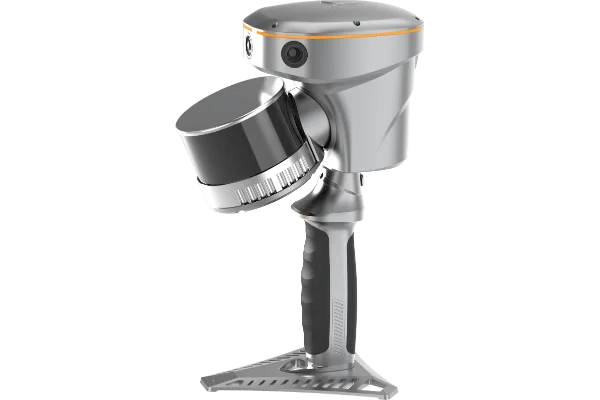
The RS10 stands out with a two-year warranty, built-in GNSS, and options for 320,000 or 640,000 points per second. Its powerful SLAM algorithm delivers reliable accuracy, backed by free lifetime processing software.
The system supports control point-based trajectory adjustment, includes both built-in and IMU-stabilised cameras for spherical photos, and comes with no ongoing software or maintenance fees. With regular firmware updates and upcoming support for Gaussian splats, it’s a future-ready solution for mobile mapping.
To see the RS10 in action and understand how it compares to other systems on the market, we invite you to watch the full demo video.
RS10 Features
Combines satellite positioning and visual mapping for seamless indoor and outdoor surveying, achieving up to 5cm absolute accuracy even in GNSS-limited areas.
Utilises LiDAR technology to deliver centimetre-level accuracy for detailed 3D point clouds.
Provides instant georeferenced 3D models in the field, reducing post-processing time and improving workflow efficiency.
The portable and robust construction makes these devices easy to carry and reliable in challenging conditions.
Compatible with industry-standard software, enabling seamless data transfer for further analysis and modelling


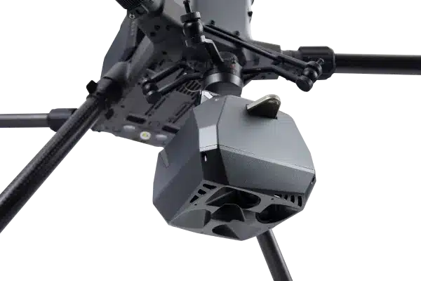
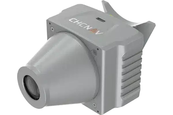
The RS10 Slam Scanner

Datasheet
The RS10 brings a new approach to geospatial surveying by integrating GNSS RTK, laser scanning, and visual SLAM technologies into a single platform designed to improve the efficiency and accuracy of indoor and outdoor 3D scanning and surveying tasks. The RS10 is a versatile solution for surveying, civil engineering, and BIM professionals, as well as for applications such as agricultural and forestry surveying, power line inspection, material pile volume calculation, and data collection in underground spaces.