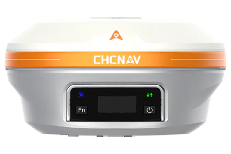
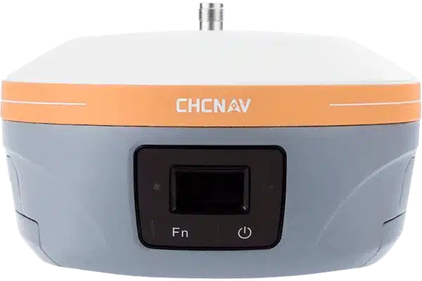
CHCNAV i93 GNSS Rover Demonstration – Accurate Imagery in Minutes
Overview
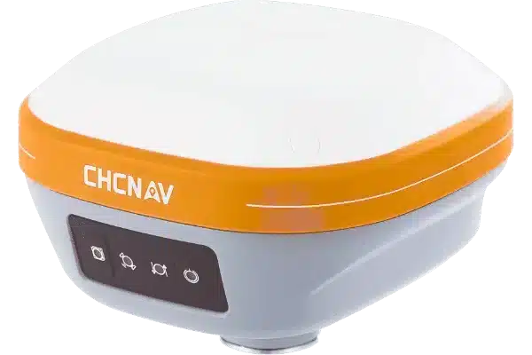
When a client requests a live demonstration, expectations are high. In a recent field test, we had the opportunity to put the CHC i93 GNSS Rover through its paces in a real-world, remote survey scenario. The goal? To showcase what many in the industry already know: this is arguably the most capable GNSS imaging rover currently on the market. And it didn’t disappoint…
Field-Ready Accuracy
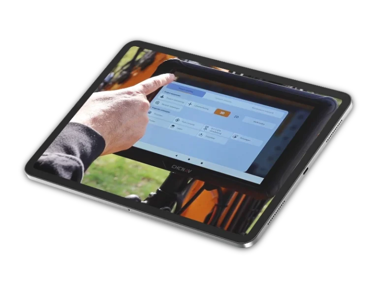
The demonstration focused on a walk-through photogrammetry session, with the i93’s onboard imaging capability used to rapidly model the site. Without setting up a base or external cameras, we simply walked the area, letting the rover capture data using its integrated positioning and imaging systems. Within five minutes, we had a clean, accurate, and highly detailed model, ready to be used back in the office.
For those still sceptical about image-based point generation in survey workflows, this test was proof enough. It works, and it’s accurate, scarily accurate, in fact.
Built for Tough Sites
Beyond its performance in the field, the CHC i93 is built to last. With a robust IP68 rating and the ability to withstand a 2-metre drop, it’s designed for demanding site conditions. It includes a 60° IMU (Inertial Measurement Unit) for precise tilt compensation, making it easier to collect accurate data on uneven terrain or in areas where holding the pole perfectly vertical just isn’t practical.
Under the hood, the i93 is powered by a 1408-channel GNSS engine and supports all major constellations, GPS, GLONASS, Galileo, BeiDou, QZSS, and SBAS. This means it providing consistent performance, even in environments where signal quality can be compromised.
The unit also boasts an exceptional 34-hour battery life, making it more than capable of handling full days in the field without interruption. For those managing survey teams and tight schedules, that kind of reliability can make a real difference.
Straightforward Integration
During the demo, the client specifically asked whether the data could be recorded for post-processing. The answer, of course, was yes—and the result was a high-quality model that was ready to integrate into their preferred CAD or GIS environment. The i93’s imaging and data collection capabilities remove the need for repeated site visits, streamlining survey workflows and improving project efficiency.
With free lifetime software updates and a two-year hardware warranty as standard, the i93 is a smart long-term investment for teams looking to future-proof their equipment.
Book a Demonstration
Whether you’re considering upgrading your GNSS hardware or exploring the benefits of image-assisted surveying, the CHC i93 deserves serious consideration. It’s accurate, efficient, rugged, and ready to work wherever your projects take you. Book a live demonstration today and see the CHC i93 GNSS Rover in action for yourself.