


If you dont find what you're looking for on these pages, feel free to contact us.
Take a look at our product list. More items coming soon.
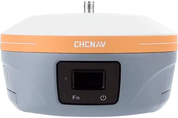


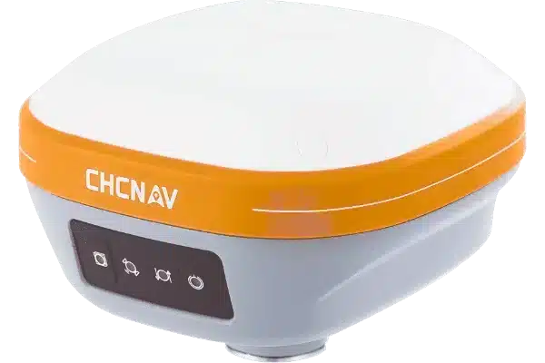

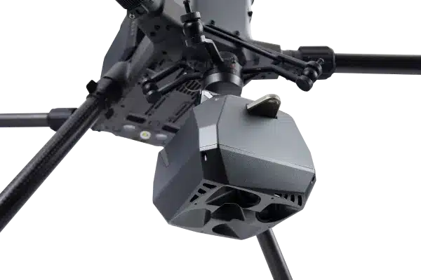
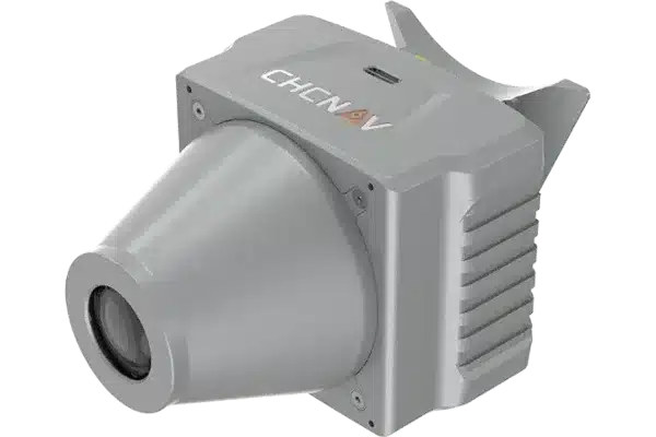

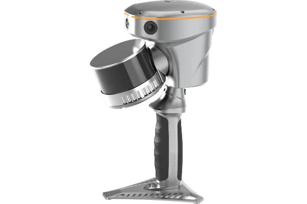


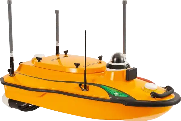
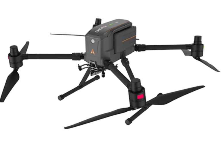
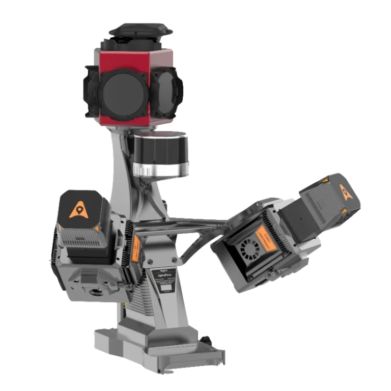
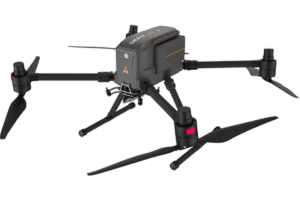
3D mobile mapping units are specialised systems used to capture high-fidelity three-dimensional spatial data in motion. Mounted on vehicles or carried by operators, these units integrate LiDAR, cameras, GNSS/IMU sensors and other instruments to continuously scan and map surroundings, roads, cities, infrastructure corridors, terrain and more.
By combining these technologies, the units can rapidly produce dense point clouds and georeferenced imagery while travelling at normal traffic speeds or walking pace. This allows organisations to survey large areas efficiently, create digital twins of assets, monitor change over time and support planning, inspection and asset-management workflows.
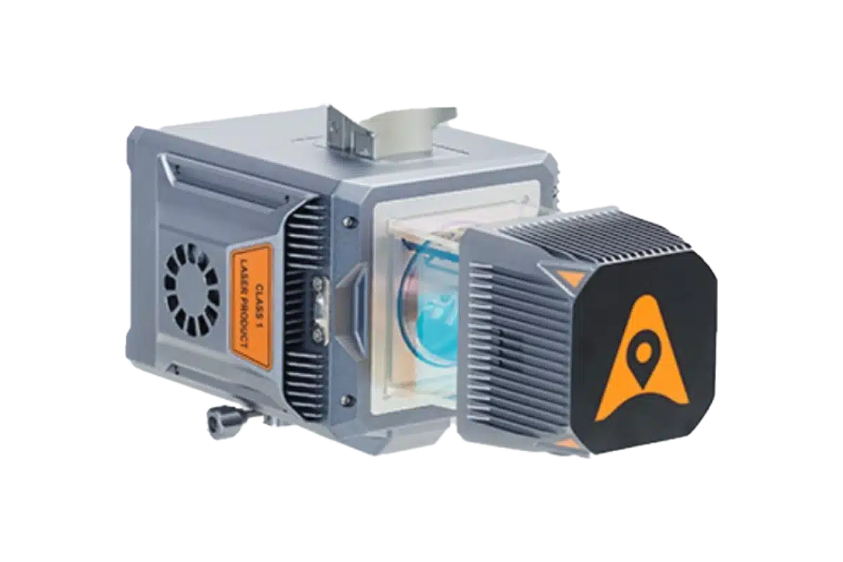
Our 3D mobile mapping units work by synchronising multiple sensing modalities: a LiDAR scanner spins or sweeps to gather distance measurements; high-resolution cameras capture visual context; a GNSS/IMU suite tracks the system’s precise position and orientation. Together, this generates a coordinate-rich, three-dimensional representation of the environment.
During operation, the GNSS/IMU provides the unit’s geospatial anchor (latitude, longitude, altitude, roll, pitch, yaw). The LiDAR and cameras then sweep or capture successive frames, registering each frame into a global coordinate system. Post-processing software aligns, filters and colours the raw point cloud and imagery, producing deliverables such as 3D models, orthophotos, corridor surveys or digital twins.
3D Mobile Mapping equipment is most useful for scenarios where speed, accuracy and context are critical: thoroughfares, rail corridors, utility networks, urban environments and large‐scale asset inventories.
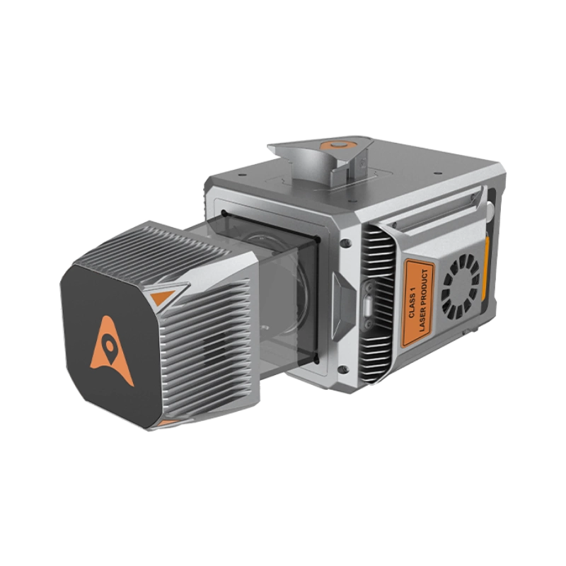
When working with Tri-Site, you’re supported by experienced surveyors, not salespeople. We understand how the data is used in practice, and we help you configure, set up and deploy your mobile mapping system to achieve real-world results straight away.
We provide ongoing technical and field support, ensuring you get maximum value from your equipment long after delivery. We also operate with transparency: no software subscription costs and no recurring maintenance fees. Our focus is on providing you with a reliable, high-precision system without locking you into unnecessary expenses.
Achieve centimetre-level positioning and orientation, even while in motion.
Capture millions of points per second for detailed 3D modelling of assets and terrain.
Generate high-resolution imagery with full environmental context to complement your point-cloud data.
Mount equipment to vehicles, handheld carriers or trolleys to adapt to everything from highways to tight urban areas.
Export directly to CAD, BIM or GIS environments with automated filtering, alignment and feature extraction.