


£8,140.00
- £9,845.00
POA

£7,040.00
- £8,745.00
POA

£12,750.00
POA
£7,040.00
- £8,745.00
POA
£5,500.00
- £7,205.00
POA

£5,500.00
- £7,205.00
POA
£4,730.00
- £6,270.00
POA

£5,500.00
- £6,000.00
POA
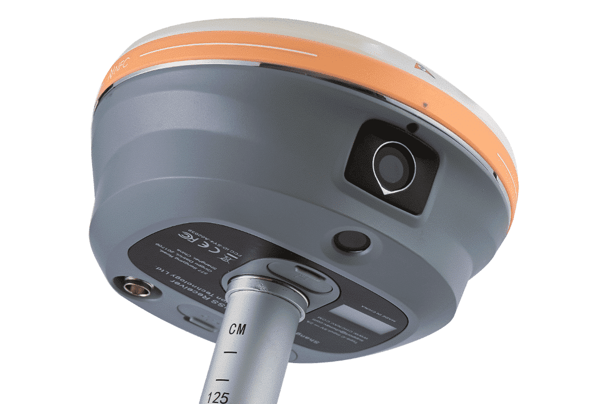


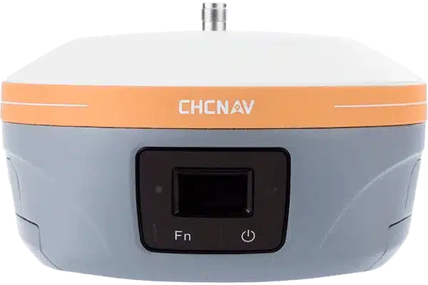
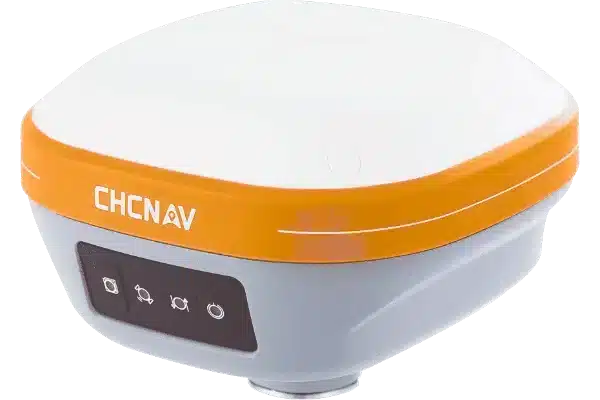
CHCNAV | i93 - Precision and Efficiency Surveying with Auto-IMU and iStar algorithm
CHCNAV | i89 - Kit Unboxing, Initialization setup and Quick Start
CHCNAV | i93 Visual IMU-RTK Stream Live - English
Introducing the i73 IMU-RTK GNSS Receiver Key Features | CHCNAV
CHCNAV | i83 Pro Smart Versatile IMU-RTK Receiver