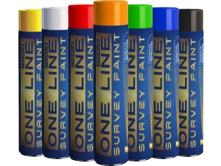
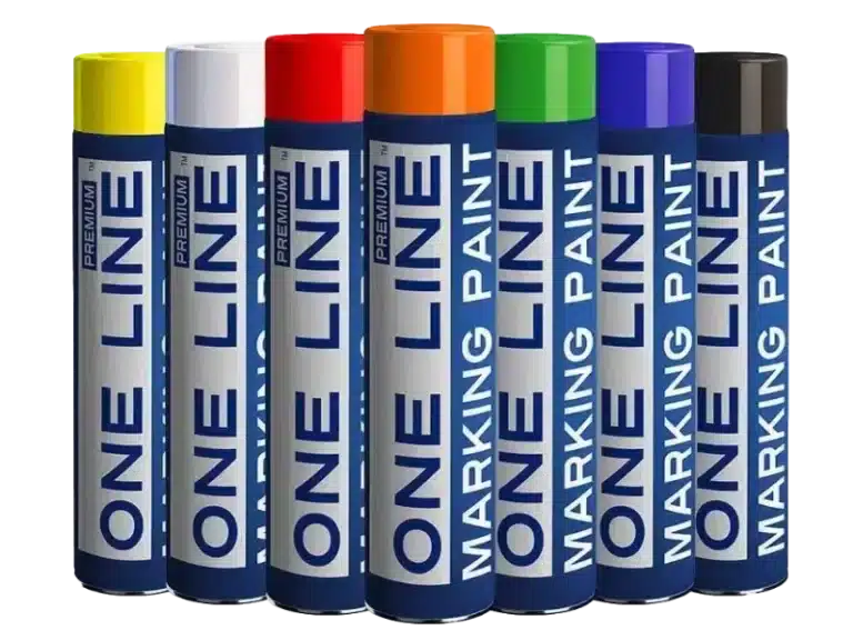
AUTUMN DEAL • Get a 1-year unlimited RTK license with any CHCNAV GNSS sensor or RS10 purchase.
0
0

Buy GPS RTK Network Licences

In traditional RTK services, a network of reference stations detects all the errors in satellite signals and sends the necessary corrections to the receiver. The corrections are specific to each combination of satellite, frequency, and signal. In contrast, OSR requires each reference station to process the same signals in a homogeneous network, and the user must support these signals.

rtk Transparent
rtk Transparent
rtk Transparent
£67.00 - £2,970.00
DETAILS

Introducing RTK Licences

Buy RTK Licences

Our RTK network offers centimeter-level accuracy, making it the ideal choice for customers who require the highest level of precision in their operations. Our network consists of 2000 base stations across 25 European countries, ensuring that our customers have access to accurate and reliable positioning data wherever they are. Our baseline distance of 70 km allows for even greater accuracy and precision in complex applications. Our purpose-built positioning management platform provides customers with the best possible tools for managing their assets, including real-time data visualization and remote support. With our industry-leading RTK network and positioning management tools, customers can benefit from a high level of resilience, security, and flexibility, making it the ideal choice for any industry that requires precise positioning solutions.

Survey And mapping Licences

VRS Licence Applications

Surveying and mapping are essential components of many industries, from construction to land management. our RTK network provides the accuracy and reliability needed for these tasks. Our network offers centimeter-level accuracy, ensuring that surveyors and mappers can make precise measurements and create accurate maps. This means they can create topographic maps with greater detail, perform boundary and land title surveys with greater accuracy, and map utility assets with greater precision. Our network is also highly scalable, making it suitable for projects of all sizes, from small construction sites to large-scale infrastructure projects.

Global RTK Premium GNSS network

Centimetre Level Accuracy

When it comes to positioning data, we are aware of how important accuracy and dependability are. Because of this, our RTK network provides centimeter-level accuracy, enabling our users to make accurate operational decisions. Because of our network’s outstanding 99.9% uptime, consumers can always rely on their positional information. With over 1,000 base stations and 10,000 users across Europe, our network is also very expandable. 

An RTK license provides access to correction data that enhances the accuracy of GNSS (Global Navigation Satellite System) positioning. It is essential for applications requiring centimeter-level precision, such as surveying, precision agriculture, and construction.

RTK licenses are typically sold as time-based subscriptions (e.g., monthly, yearly). They can be renewed when they expire, and some providers offer automatic renewal options.

Most RTK licenses are tied to a specific receiver or user account. Transferring a license between devices often requires permission from the provider and may involve additional steps or fees.

RTK license coverage varies by provider. Some offer regional or national coverage, while others may require additional licenses or upgrades for cross-border or global use.