Winter Deals • Trade in your Working GNSS Sensors • Up to £2025 Savings
0
0

CHCNAV ViLi i100 Visual-LiDAR GNSS

£13,250.00

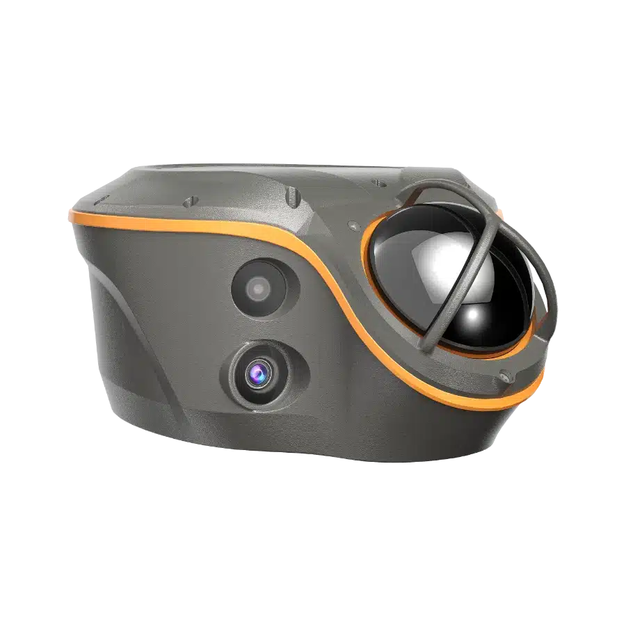
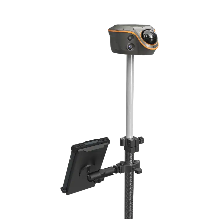
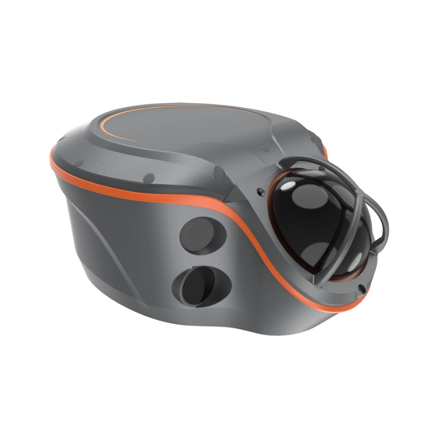
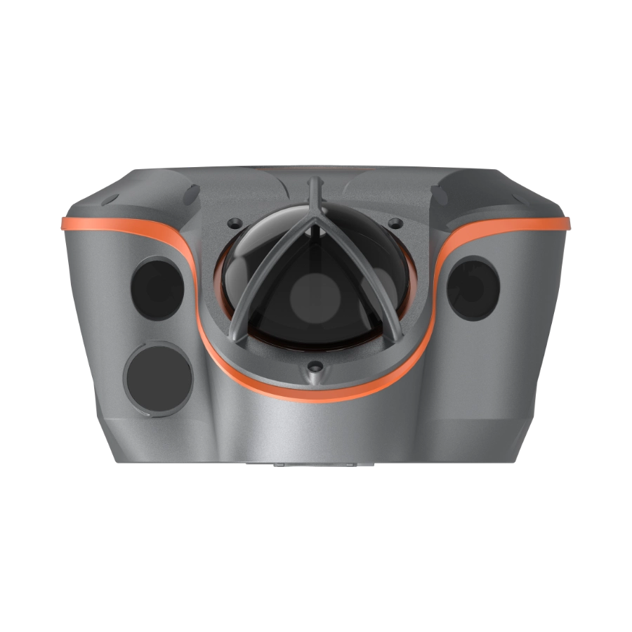
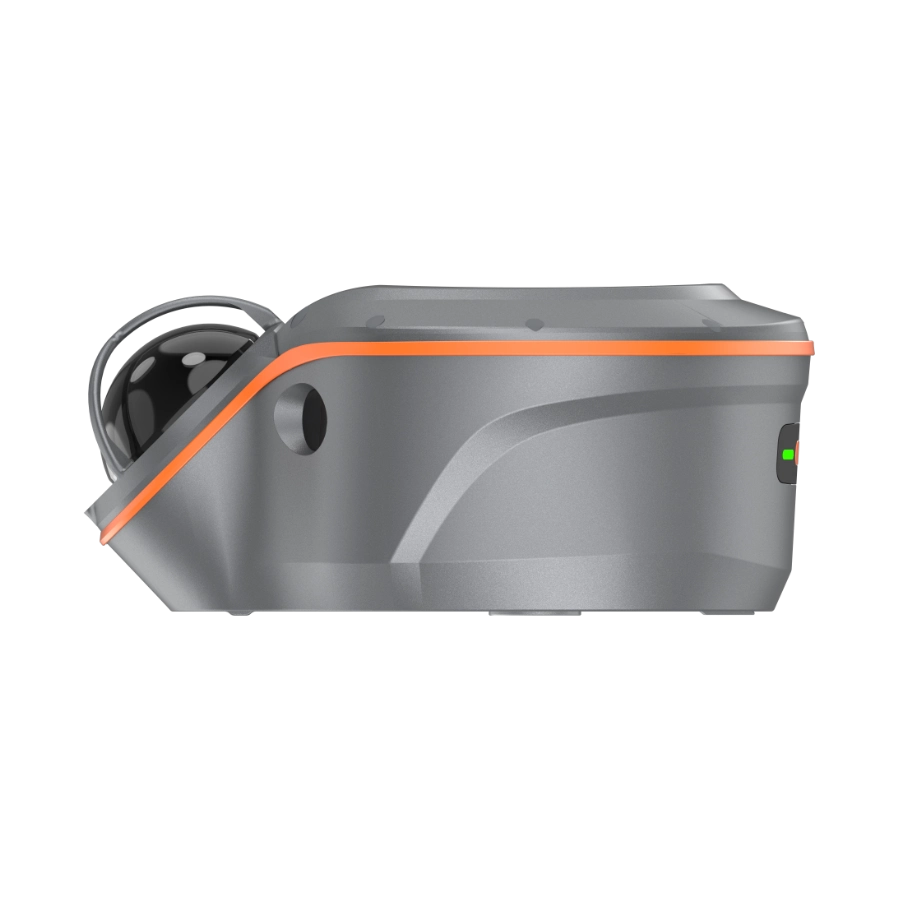
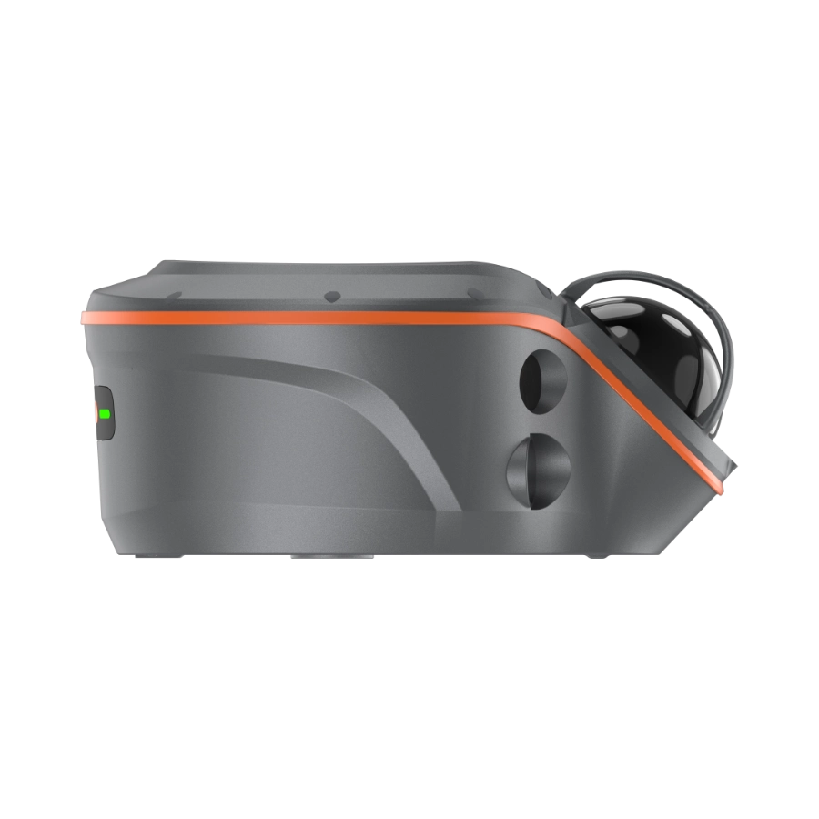
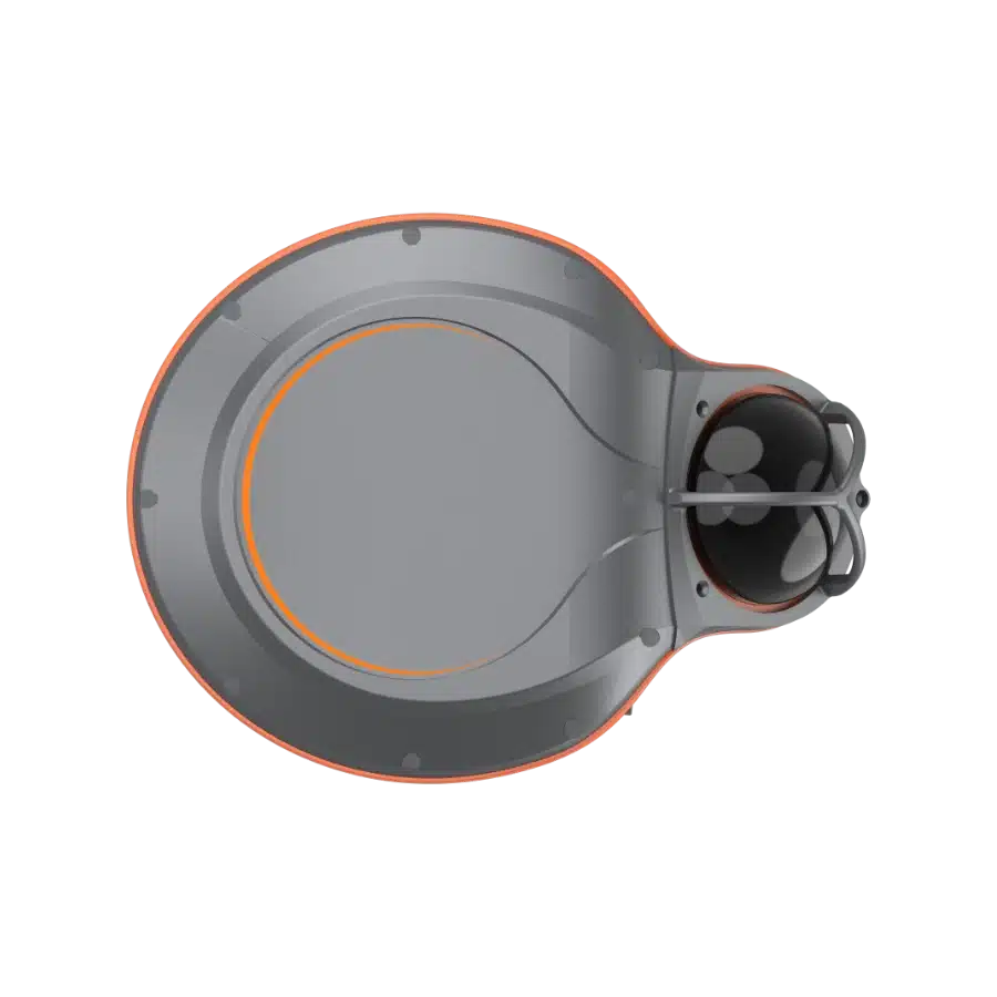
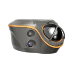
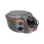
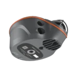
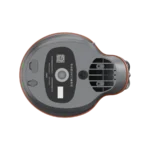
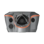
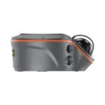
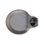
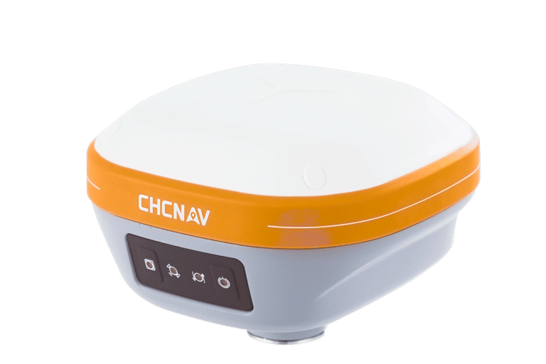
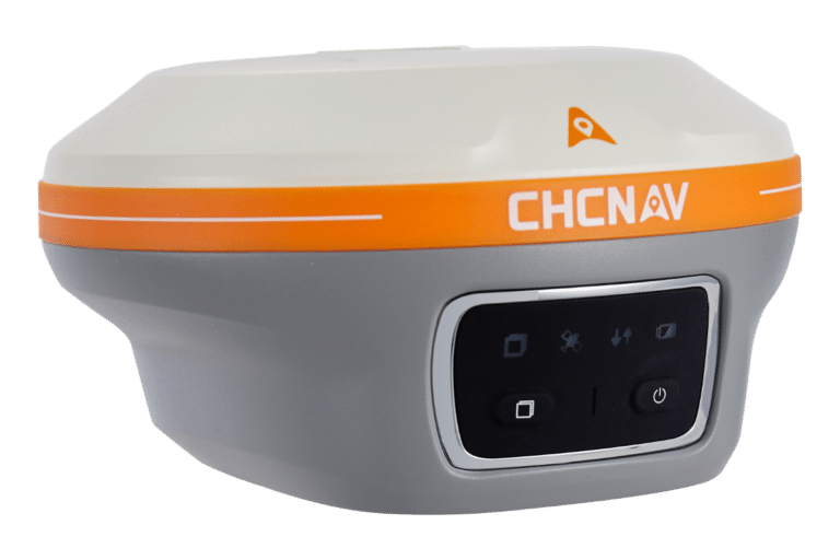
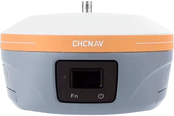
The ViLi i100 is CHCNAV’s flagship GNSS RTK receiver, designed for reliable performance in both outdoor and indoor environments. It combines advanced satellite filtering, the enhanced SFix 2.0 positioning engine, and integrated Vi-LiDAR technology to deliver accurate results where standard GNSS units often fail.

The receiver maintains centimetre-level accuracy in open areas, and up to 5 cm accuracy in dense city streets, woodland, construction sites, or indoors using SFix 2.0. The built-in Vi-LiDAR enables fast scanning, 3D point cloud generation, and earthwork calculations with 99.98% reliability, while dual cameras support photo-based point capture and AR-assisted stakeout.

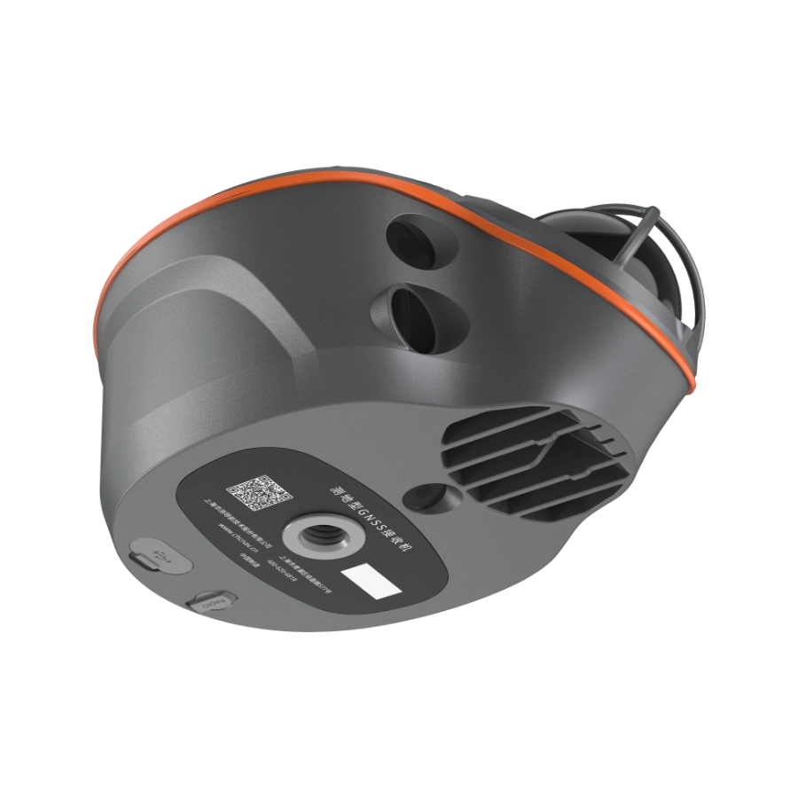
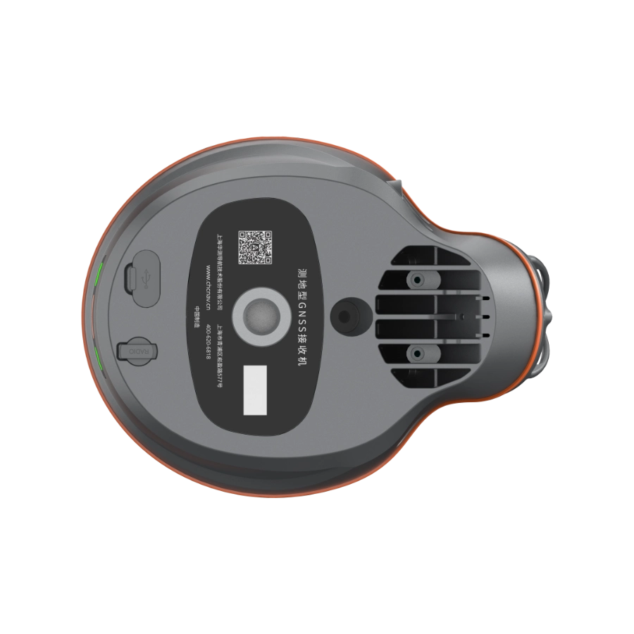
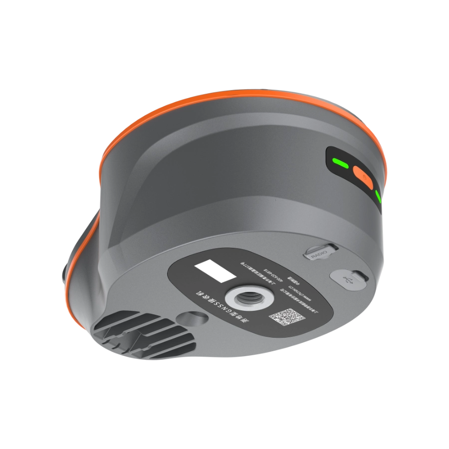
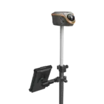
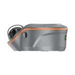
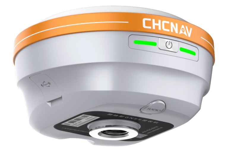
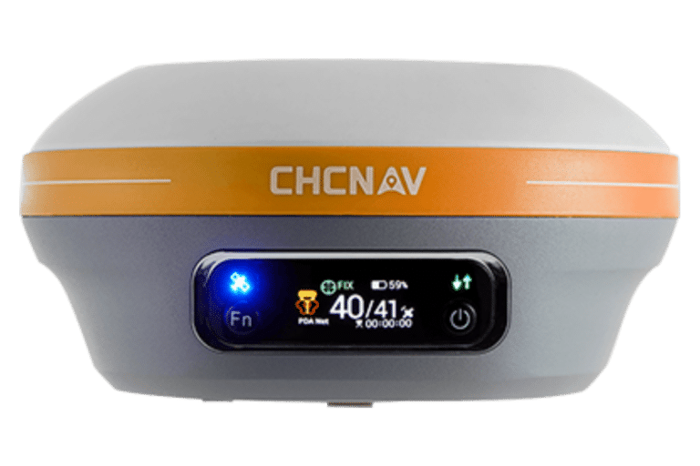
The i100 supports CORS, UHF, and PPP workflows, with integrated 4G, Wi-Fi, and NFC for flexible connectivity. Its rugged IP67/68 build, 2 m drop resistance, and 11–24 hours of operating time ensure it is suited to demanding field conditions across the surveying sector.

Product Description

The ViLi i100 combines CHCNAV’s latest GNSS technology with integrated LiDAR scanning, extending precise positioning beyond traditional boundaries. Surveyors can now capture reliable data not only in open fields but also in dense city streets, woodland, construction sites, and even indoors. This all-in-one approach reduces the need for multiple equipment and ensures flexibility across a wide range of surveying tasks.

Built on CHCNAV’s enhanced SFix 2.0 positioning engine, the i100 delivers 1–2 cm accuracy in open sky conditions and up to 5 cm accuracy within 20 m in GNSS-denied environments. Whether working under tree cover, close to tall buildings, or inside structures, surveyors can trust the i100 to maintain consistency where conventional receivers struggle.

Physical Properties

Positioning

  • GNSS: Full GNSS
  • IMU: 200 Hz
  • Precision max: 0.8 cm H / 1.5 cm V

Physical

  • Weight: 1.39 kg
  • Screen Size: 208 x 162 x 95.5 mm
  • Battery life: Up to 22 hours RTK rover

LiDAR

  • Range: 30 m @ 10% reflectivity 70 m @ 80% reflectivity
  • FOV: H: 360° V: 90°
  • Eye – Safety Class: Class 1 (EC60825 – 1:2014) eye – safe
  • Point Frequency: 860,544 pts/s (single – echo mode)
  • Accuracy (Typical): 1.5 cm (1 σ)

Connectivity

  • Wireless: Bluetooth, Wi-Fi
  • Cellular: No
  • Modem: 410 – 470 MHz, Rx only
  • Ports: 1 x USB V3.0 Type-C port, 1 x UHF antenna port

Optional Data Collectors

LT800

The CHCNAV LT800 is a rugged AndroidTM tablet designed to increase the mobile workforce’s efficiency and productivity in applications requiring meter-level GNSS positioning and uninterrupted performance. Portable, rugged and versatile, it enables GIS data collection, environmental surveys, landscaping, and other scenarios.

HCE620

The CHCNAV HCE620 is a rugged, Android-based field controller designed for precise surveying and mapping tasks. Equipped with a powerful octa-core processor, a bright 5.5-inch display, and robust connectivity options like 4G, Wi-Fi, and Bluetooth, it ensures reliable performance in tough field conditions. With its long-lasting battery and durable build meeting IP67 and military standards, the HCE620 offers an efficient and dependable solution for professionals in construction, agriculture, and geospatial industries. 

Datasheet

GNSS - iBase GNSS
£5,500.00 - £6,000.00
DETAILS
CHCNAV i73
£4,730.00 - £6,270.00
DETAILS
i76 3D product image8
CHCNAC i83
£5,500.00 - £7,205.00
DETAILS
CCHB9045
CHCNAV i93
i85 10
GNSS - iBase GNSS
£5,500.00 - £6,000.00
POA
DETAILS
CHCNAV i73
£4,730.00 - £6,270.00
POA
DETAILS
i76 3D product image8
CHCNAC i83
£5,500.00 - £7,205.00
POA
DETAILS
CCHB9045
CHCNAV i93
£8,140.00 - £9,845.00
POA
DETAILS
i85 10