Winter Deals • Trade in your Working GNSS Sensors • Up to £2025 Savings
0
0

RS10 (300m)

The RS10 brings a new approach to geospatial surveying by integrating GNSS RTK, laser scanning, and visual SLAM technologies into a single platform. This comes in two models the 300m version and the regular version. Designed to improve the efficiency and accuracy of indoor and outdoor 3D scanning and surveying tasks. The RS10 is a versatile solution for surveying, civil engineering, and BIM professionals, as well as for applications such as agricultural and forestry surveying, power line inspection, material pile volume calculation, and data collection in underground spaces.

Laser Scanner Products

CHCnav RS30
CHCNAV RS10

RS10 300m

3D Model

Immerse yourself in the exceptional design and craftsmanship of the RS10 300m model. With its sleek aesthetics and high-quality build, every detail is brought to life with stunning clarity. Experience a level of refinement that sets it apart, making it a true standout in its class.

woodland survey

Using The RS10

Over the past few months, we’ve put the RS10 to work in a range of environments—and it has proven to be an absolutely impressive piece of equipment!

In this demonstration, Ted Harland puts the RS10 to the test, evaluating its speed and ease of use while scanning a 12,000m2 area of woodland. Will the RS10 live up to expectations?

RTK AND SLAM FUSION FOR BETTER MAPPING ACCURACY

Laser Scanners

The RS10 is the result of CHCNAV’s expertise in GNSS technology development. Featuring a 4th generation air dielectric GNSS antenna, it provides RTK positioning accuracy of better than 3 cm in a variety of challenging environments. Combined with the system’s high-precision LiDAR and three HD cameras, it fuses RTK, laser, and visual SLAM to deliver 5 cm absolute measurement accuracy. From detailed architectural surveys to complex infrastructure projects, the RS10 gives professionals the tools they need to collect rich and accurate data efficiently.

REAL-TIME SLAM CAPABILITIES

Equipped with a powerful on-board processor, the RS10 provides real-time SLAM (Simultaneous Localization and Mapping) capabilities to create georeferenced point clouds directly in the field without the need for post-processing. With immediate feedback on the collected data, users can make adjustments on the fly to ensure complete and detailed scan coverage. The RS10 can map large areas up to 13,000 square meters in real-time, making it ideal for rapid or complex surveying projects where time and accuracy are critical.

EFFICIENT LOOP-FREE WORKFLOW

The integration of high-precision GNSS and SLAM technologies eliminates the need for traditional loop closure, which often complicates the data collection process for handheld scanners. By enabling loop-free path planning, the RS10 streamlines field data collection and significantly reduces the time and effort required to complete projects.

SEAMLESS OUTDOOR AND INDOOR MAPPING

The transition between outdoor and indoor environments is seamless with the RS10’s ability to use the same coordinate system without the need for additional georeferencing. Users can select the desired CS (coordinate system) directly in the field using either the SmartGo or LandStar™ SWs, ensuring consistent, simplified and accurate data collection in both outdoor and indoor environments.

CHCNAV RS10

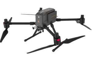
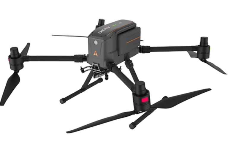
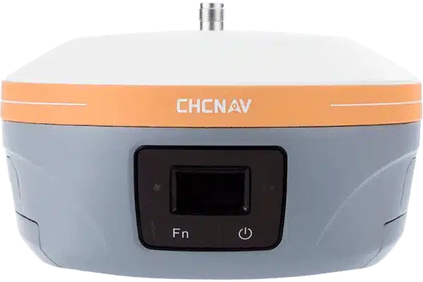
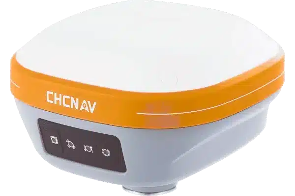
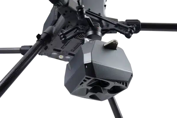
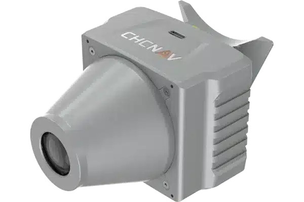
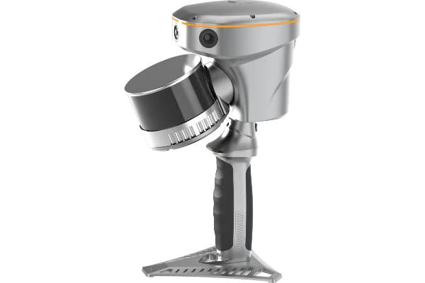
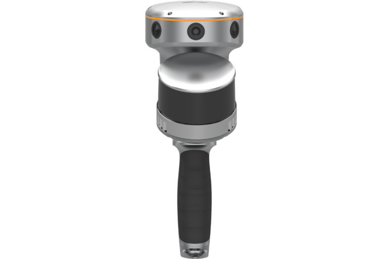
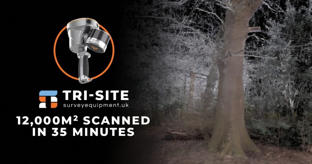
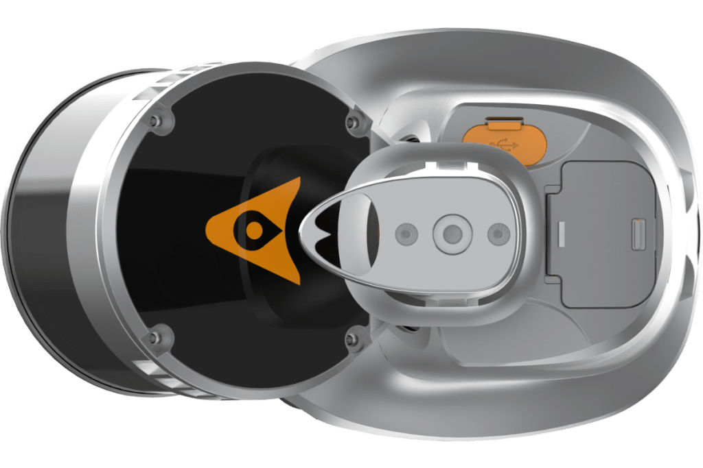
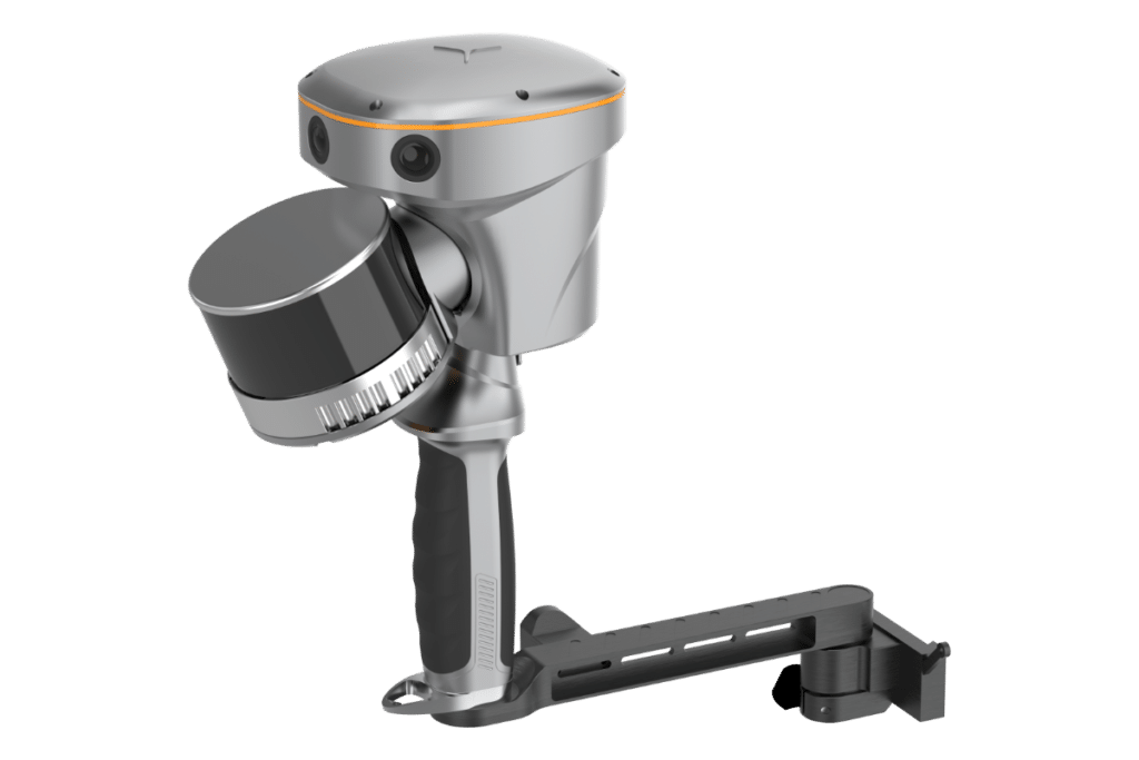
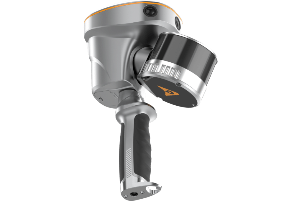
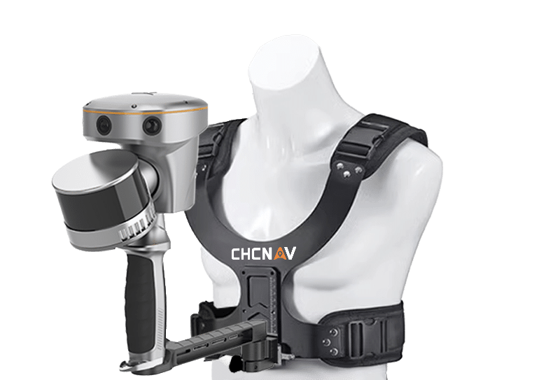
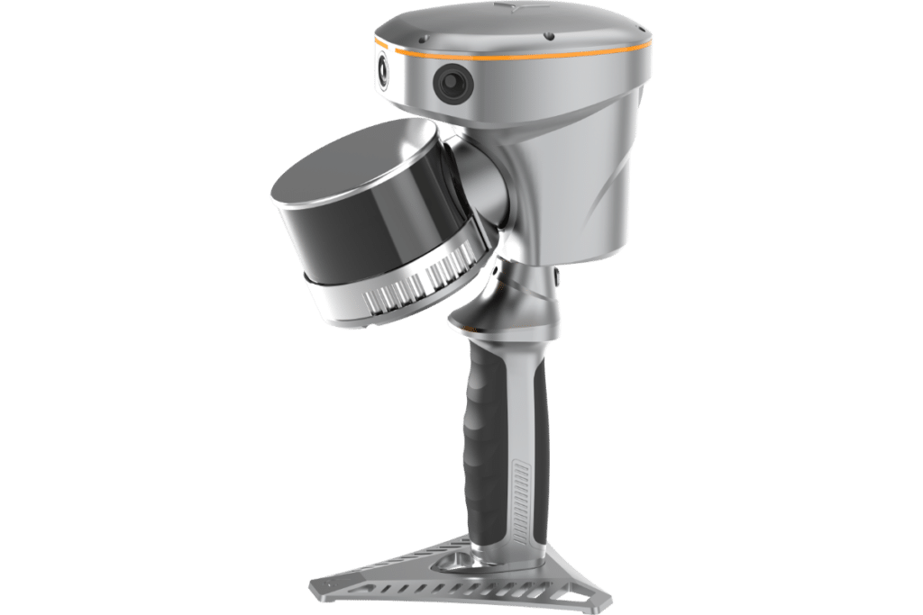
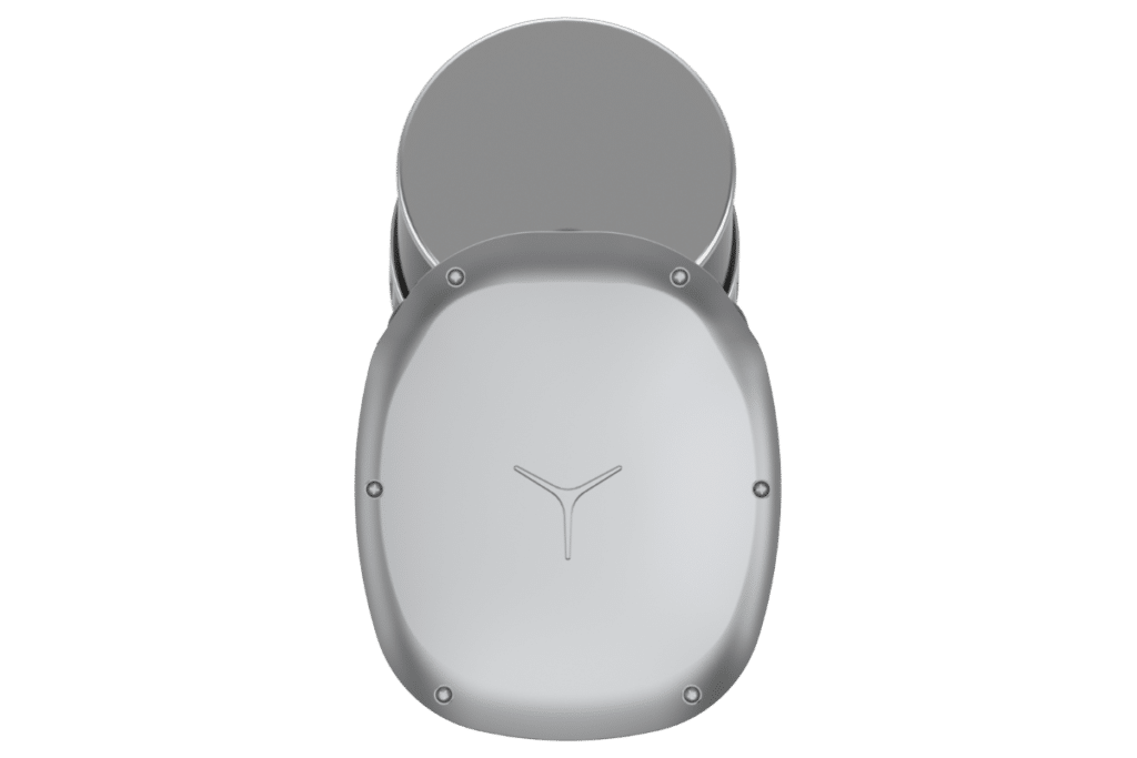
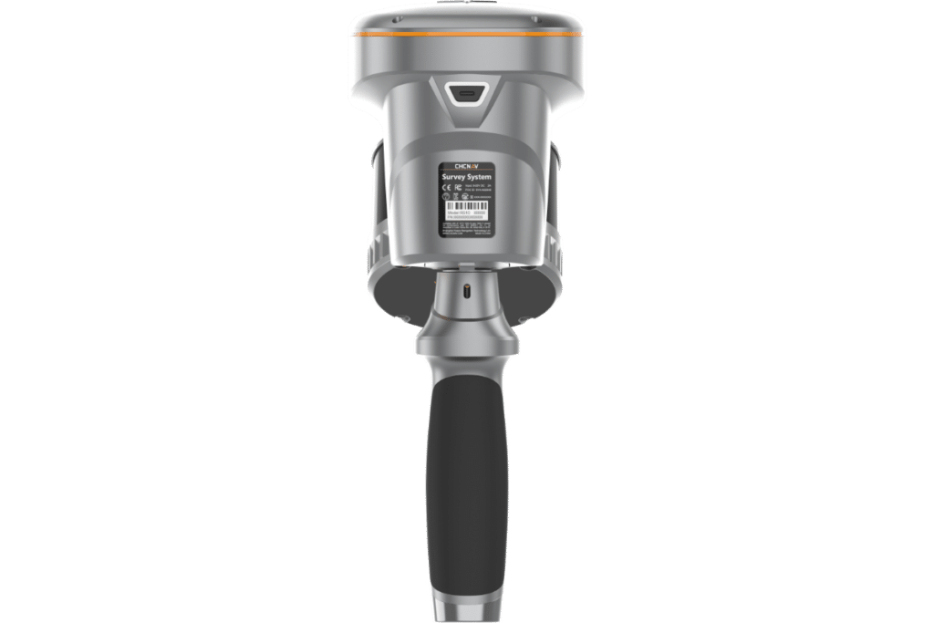
Handheld laser scanners are used for capturing detailed 3D measurements and models. The RS10 is widely used in surveying, construction, and engineering, building information modeling (BIM), construction verification, industrial inspection, heritage preservation, forensics, and any task requiring accurate 3D spatial data.

Consider factors like scanning range, resolution, portability, ease of use, compatibility with software, and the specific needs of your project to ensure you select the right scanner for your application.

The RS10 already has a built-in GNSS RTK receiver. It can be used alongside total stations, and other surveying equipment. Data from handheld scanners can be integrated into comprehensive surveying workflows for enhanced project outcomes.

The RS10 integrates GNSS RTK, laser scanning, and visual SLAM, providing precise data collection even in areas with weak or no GNSS signals.

The RS10 features real-time SLAM mapping and an efficient loop-free workflow, reducing project completion time and effort.